Medium airport · Pakistan

Sehwan Sharif AirportOPSN
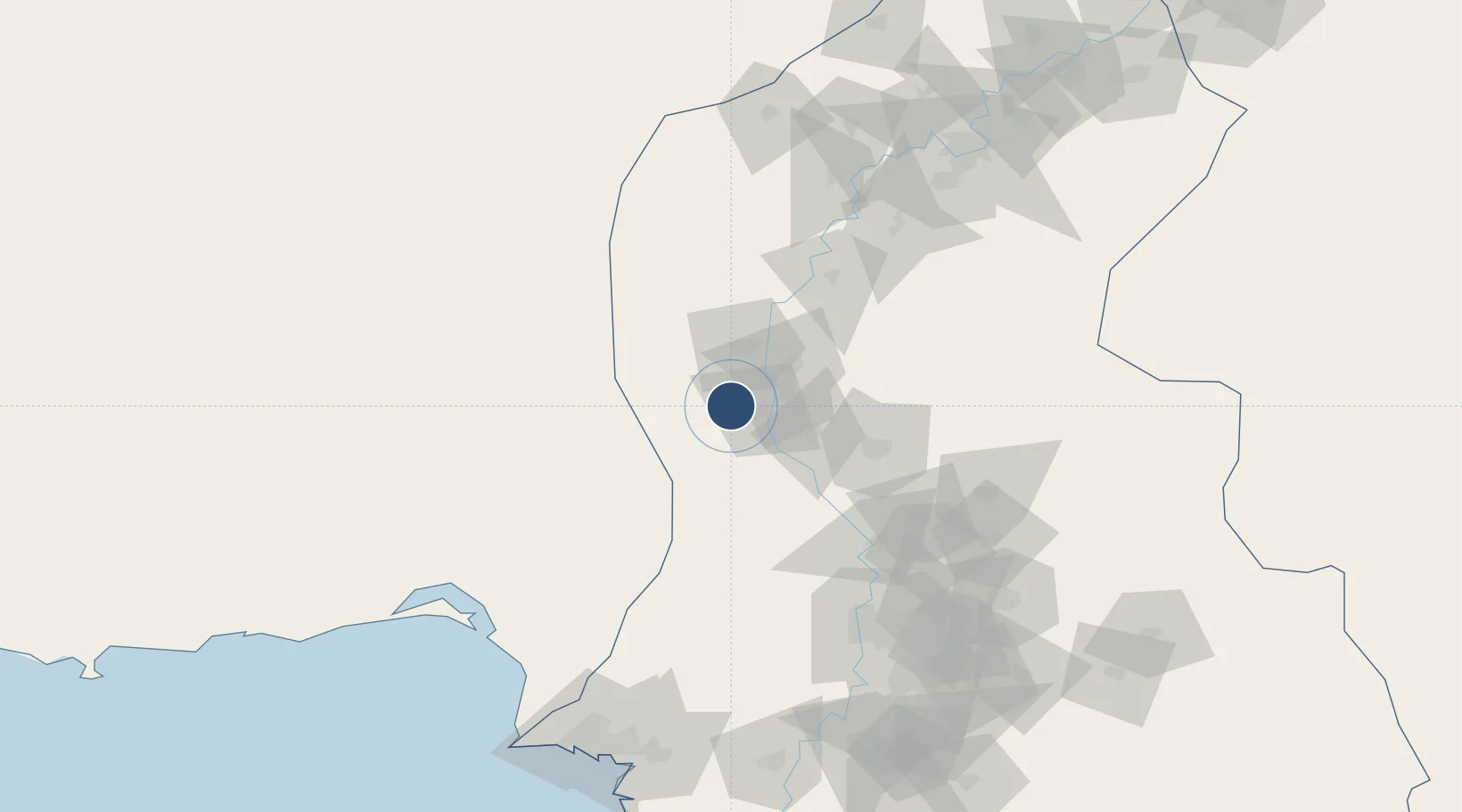
26.4731°, 67.7172°
6,562 ft
Longest runway
1
Runways
121 ft
Elevation

Runway & Layout

Sehwan Sharif Airport runway & taxiway layout
Runway & taxiway layout — OpenStreetMap (ODbL) / OurAirports

Navaids

SN NDB Sehwan Sharif 338 kHz
OurAirports

Runways · 1

RunwayDimensions SurfaceTrue headingLit
17/35 6,562 × —ft Concrete
OurAirports

Airport Specifications

IATA code
SYW
OurAirports
ICAO code
OPSN
OurAirports
Airport class
Medium airport
OurAirports
Scheduled service
No
OurAirports
Runway surface
Concrete
OurAirports
Served city
Sehwan Sharif
OurAirports

Location

Location of OPSN
Natural Earth 10m (public domain) · Sind · OPSN · 26.47, 67.72GoogleOSMYandex

Nearby Logistics Neighbours

Airports
  1. 1Shaheed Benazirabad Airport73 km
  2. 2Moenjodaro Airport105 km
  3. 3Hyderabad Airport144 km
  4. 4Begum Nusrat Bhutto International Airport Sukkur175 km
  5. 5Khuzdar Airport181 km
Nearest neighbours — logibook spatial index (haversine) over the source coordinates
Cities
  1. 1Karachi Freight Terminal191 km
  2. 2Muhammad Bin Qasim/Karachi192 km
  3. 3Karachi194 km
  4. 4Karachi Container Terminal197 km
  5. 5Kiamari199 km
Nearest neighbours — logibook spatial index (haversine) over the source coordinates
Ports
  1. 1Muhamamad Bin Qasim193 km
  2. 2Karachi202 km
  3. 3Mandvi437 km
  4. 4Kandla458 km
  5. 5Mundra462 km
Nearest neighbours — logibook spatial index (haversine) over the source coordinates
Trade Zones
  1. 1Naushehro Feroze Industrial Park58 km
  2. 2Duddar Export Processing Zone100 km
  3. 3Khairpur Special Economic Zone148 km
  4. 4Bin Qasim Special Economic Zone182 km
  5. 5Quaid-E-Azim Apparel Park183 km
Nearest neighbours — logibook spatial index (haversine) over the source coordinates
DatabookThe Record of Consolidated Knowledge
Pakistan beyond logistics?
Browse databook

All Sources

AirportsOurAirports
Public domain
Portsthe NGA World Port Index
Public domain (US gov)
LocationsUN/LOCODE
UN/LOCODE — free
Trade Zonesthe World Bank SEZ database
CC BY 4.0
Trade ZonesOpen Zone Map
CC BY
InfrastructureOpenStreetMap
ODbL 1.0
← Pakistan airports