Medium airport · Iran
Bam AirportOIKM
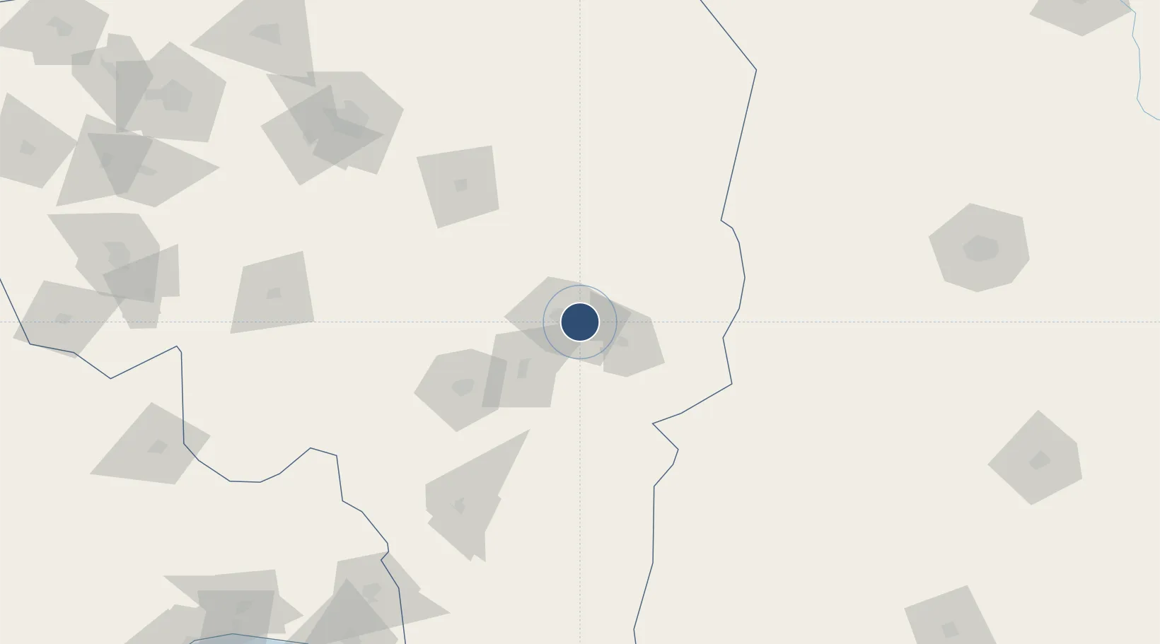
29.0842°, 58.4500°
11,107 ft
Longest runway
1
Runways
3,231 ft
Elevation
Runway & Layout

Radio Frequencies
GND
121.9 MHz
AFIS
124.15 MHz
INFO
Navaids
BAM VOR-DME Bam 114.90 MHz
BAM NDB Bam 379 kHz
Runways · 1
| Runway | Dimensions | Surface | True heading | Lit |
|---|---|---|---|---|
| 12/30 | 11,107 × 148ft | Asphalt | 123° | ✓ |
Airport Specifications
IATA code
BXR
ICAO code
OIKM
Airport class
Medium airport
Scheduled service
Yes
Runway surface
Asphalt
Served city
Bam
Location
Nearby Logistics Neighbours
Airports
- 1Jiroft Airport85 km
- 2Ayatollah Hashemi Rafsanjani International Airport196 km
- 3Zahedan International Airport242 km
- 4Rafsanjan Airport268 km
- 5Sirjan Airport274 km
Cities
- 1Shahid Bahonar309 km
- 2Bandar Abbas314 km
- 3Shahid Rajaee Pt/Bandar Abbas320 km
- 4Quoin Island337 km
- 5Kuvei338 km
Ports
- 1Jazireh-Ye Hormoz295 km
- 2Bandar Abbas308 km
- 3Bandar-E Shahid Rejaie321 km
- 4Khawr Khasab386 km
- 5Jask390 km
Trade Zones
DatabookThe Record of Consolidated Knowledge
Iran beyond logistics?