Large airport · Iran

Zahedan International AirportOIZH
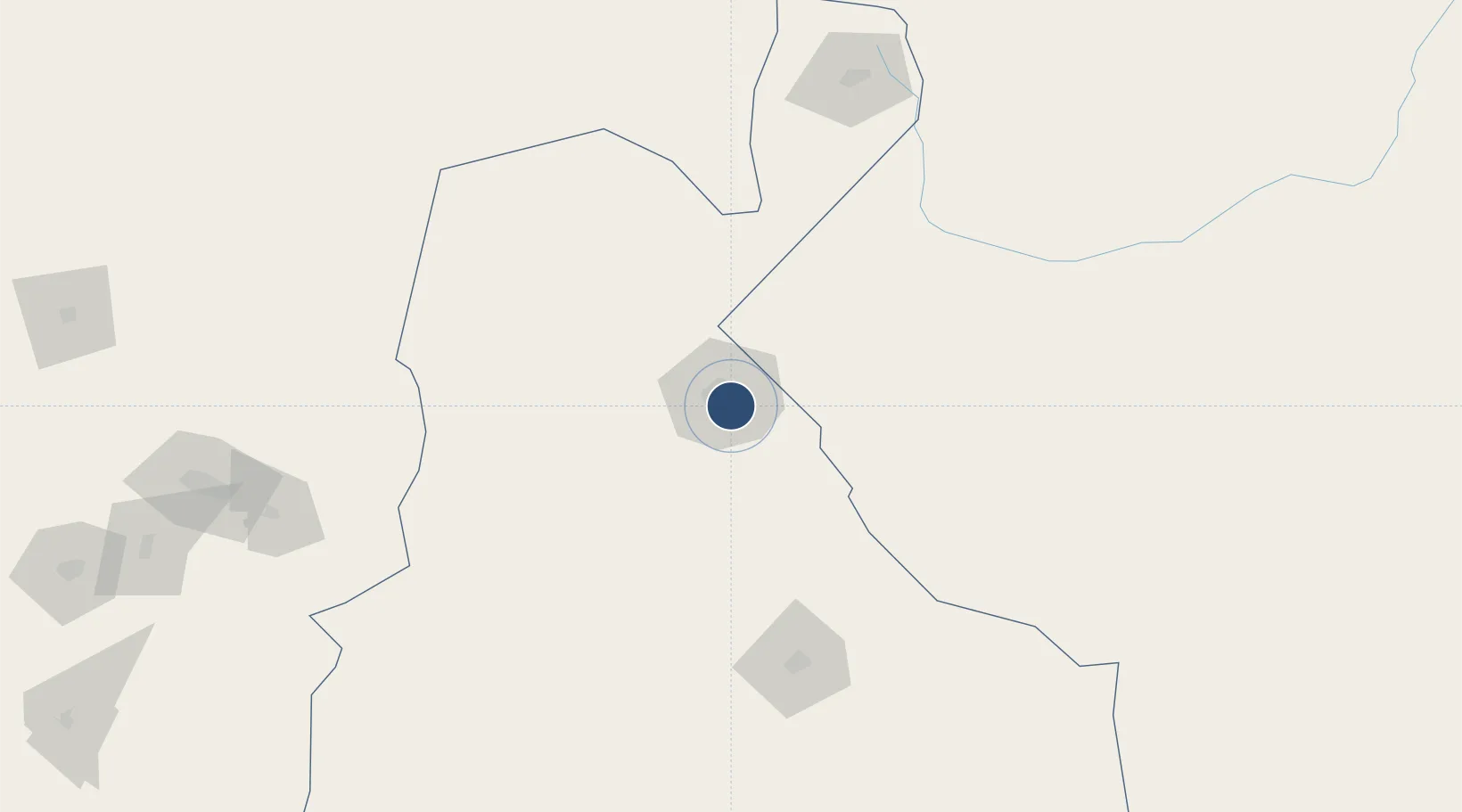
29.4757°, 60.9062°
14,042 ft
Longest runway
2
Runways
4,564 ft
Elevation

Runway & Layout

Zahedan International Airport runway & taxiway layout
Runway & taxiway layout — OpenStreetMap (ODbL) / OurAirports

Radio Frequencies

ATIS
128.45 MHz
TWR
118.1 MHz
OurAirports

Navaids

ZAH TACAN Zahedan 112.90 MHz
ZD NDB Zahedan 224 kHz
ZDN VOR-DME Zahedan 116.00 MHz
OurAirports

Runways · 2

RunwayDimensions SurfaceTrue headingLit
17L/35R 14,042 × 148ft Asphalt 173°
17R/35L 14,042 × 148ft Asphalt 173°
OurAirports

Airport Specifications

IATA code
ZAH
OurAirports
ICAO code
OIZH
OurAirports
Airport class
Large airport
OurAirports
Scheduled service
Yes
OurAirports
Runway surface
Asphalt
OurAirports
Served city
Zahedan
OurAirports

Location

Location of OIZH
Natural Earth 10m (public domain) · Sistan and Baluchestan · OIZH · 29.48, 60.91GoogleOSMYandex

Nearby Logistics Neighbours

Airports
  1. 1Zabol Airport191 km
  2. 2Bam Airport242 km
  3. 3Iranshahr Airport250 km
  4. 4Jiroft Airport325 km
  5. 5Dalbandin Airport346 km
Nearest neighbours — logibook spatial index (haversine) over the source coordinates
Cities
  1. 1Chah Bahar464 km
  2. 2Shahid Bahonar529 km
  3. 3Bandar Abbas534 km
  4. 4Quoin Island538 km
  5. 5Shahid Rajaee Pt/Bandar Abbas542 km
Nearest neighbours — logibook spatial index (haversine) over the source coordinates
Ports
  1. 1Chah Bahar469 km
  2. 2Gwadar502 km
  3. 3Jazireh-Ye Hormoz510 km
  4. 4Jask528 km
  5. 5Bandar Abbas528 km
Nearest neighbours — logibook spatial index (haversine) over the source coordinates
Trade Zones
  1. 1Saindak Export Processing Zone68 km
  2. 2Mirjaveh Special Economic Zone74 km
  3. 3Zaranj Special Economic Zone188 km
  4. 4Arg-e-Jadid Special Economic Zone242 km
  5. 5Jazmurian Special Economic Zone313 km
Nearest neighbours — logibook spatial index (haversine) over the source coordinates
DatabookThe Record of Consolidated Knowledge
Iran beyond logistics?
Browse databook

All Sources

AirportsOurAirports
Public domain
Portsthe NGA World Port Index
Public domain (US gov)
LocationsUN/LOCODE
UN/LOCODE — free
Trade Zonesthe World Bank SEZ database
CC BY 4.0
Trade ZonesOpen Zone Map
CC BY
InfrastructureOpenStreetMap
ODbL 1.0
← Iran airports