UN/LOCODE hub · Iran
IRBND

Bandar Abbas

27.1367°, 56.1372°
352,173
Population
2
Transport functions

Transport Functions

Port
Airport
Bandar Abbas is also a profiled seaport →
UN/LOCODE

Hub Profile

Place type
Regional capital
GeoNames
Region
Hormozgan
GeoNames
Population
352,173
GeoNames
Time zone
Asia/Tehran
GeoNames
Elevation
9 m
GeoNames
Logistics facilities
4
UN/LOCODE

Location

Location of IRBND
Natural Earth 10m (public domain) · Hormozgan · IRBND · 27.14, 56.14GoogleOSMYandex

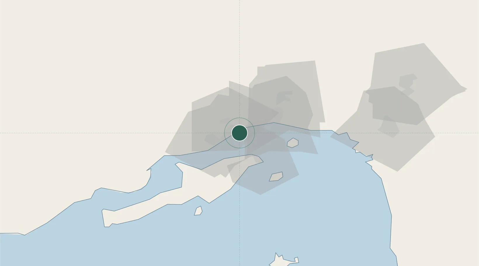
Nearby Logistics Neighbours

Cities
  1. 1Shahid Bahonar6 km
  2. 2Shahid Rajaee Pt/Bandar Abbas7 km
  3. 3Kuvei25 km
  4. 4Quoin Island72 km
  5. 5Al Jeer Port123 km
Nearest neighbours — logibook spatial index (haversine) over the source coordinates
Ports
  1. 1Bandar-E Shahid Rejaie8 km
  2. 2Jazireh-Ye Hormoz31 km
  3. 3Khawr Khasab103 km
  4. 4Mina Saqr129 km
  5. 5Hulaylah Oil Terminal130 km
Nearest neighbours — logibook spatial index (haversine) over the source coordinates
Airports
  1. 1Bandar Abbas International Airport26 km
  2. 2Qeshm International Airport48 km
  3. 3Khasab Airport108 km
  4. 4Oghab 44 Airbase118 km
  5. 5Bandar Lengeh International Airport147 km
Nearest neighbours — logibook spatial index (haversine) over the source coordinates
Trade Zones
  1. 1Special Economic Zone of the Persian Gulf Mining and Metal Industries4 km
  2. 2Shahid Rajaei Saheed Rajaee Port8 km
  3. 3Qeshm Free Trade - Industrial Zone25 km
  4. 4RAK Maritime City Free Zone133 km
  5. 5RAKEZ Academic Zone157 km
Nearest neighbours — logibook spatial index (haversine) over the source coordinates
DatabookThe Record of Consolidated Knowledge
Iran beyond logistics?
Browse databook

All Sources

LocationsUN/LOCODE
UN/LOCODE — free
LocationsGeoNames
CC BY 4.0
Portsthe NGA World Port Index
Public domain (US gov)
AirportsOurAirports
Public domain
Trade Zonesthe World Bank SEZ database
CC BY 4.0
Trade ZonesOpen Zone Map
CC BY
← Iran locations