Medium airport · Türkiye

Van Ferit Melen AirportLTCI
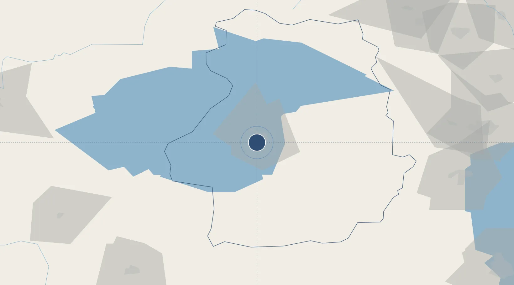
38.4682°, 43.3323°
9,022 ft
Longest runway
1
Runways
5,480 ft
Elevation

Runway & Layout

Van Ferit Melen Airport runway & taxiway layout
Runway & taxiway layout — OpenStreetMap (ODbL) / OurAirports

Radio Frequencies

TWR
118.1 MHz
GND
121.9 MHz
APP
118.1 MHz
OurAirports

Navaids

VAN VOR-DME Van 115.20 MHz
VAN NDB Van 397 kHz
OurAirports

Runways · 1

RunwayDimensions SurfaceTrue headingLit
03/21 9,022 × 148ft Asphalt 038°
OurAirports

Airport Specifications

IATA code
VAN
OurAirports
ICAO code
LTCI
OurAirports
Airport class
Medium airport
OurAirports
Scheduled service
Yes
OurAirports
Runway surface
Asphalt
OurAirports
Served city
Van
OurAirports

Location

Location of LTCI
Natural Earth 10m (public domain) · Van · LTCI · 38.47, 43.33GoogleOSMYandex

Nearby Logistics Neighbours

Airports
  1. 1Hakkari Yüksekova Airport129 km
  2. 2Ağrı Airport135 km
  3. 3Siirt Airport141 km
  4. 4Muş Airport149 km
  5. 5Maku National Airport160 km
Nearest neighbours — logibook spatial index (haversine) over the source coordinates
Cities
  1. 1Emek57 km
  2. 2Ercis61 km
  3. 3Cihangir81 km
  4. 4Kapiköy84 km
  5. 5Poliport124 km
Nearest neighbours — logibook spatial index (haversine) over the source coordinates
Ports
  1. 1Hopa367 km
  2. 2Rize376 km
  3. 3Batumi382 km
  4. 4Trabzon416 km
  5. 5Supsa Marine Terminal426 km
Nearest neighbours — logibook spatial index (haversine) over the source coordinates
Trade Zones
  1. 1Salmas Special Economic Zone126 km
  2. 2Maku Mako Trade-Industrial Free Zone135 km
  3. 3Aras Trade Industrial Free Zone206 km
  4. 4Meridian Free Economic Zone208 km
  5. 5Al Yarubiyah Free Zone216 km
Nearest neighbours — logibook spatial index (haversine) over the source coordinates
DatabookThe Record of Consolidated Knowledge
Türkiye beyond logistics?
Browse databook

All Sources

AirportsOurAirports
Public domain
Portsthe NGA World Port Index
Public domain (US gov)
LocationsUN/LOCODE
UN/LOCODE — free
Trade Zonesthe World Bank SEZ database
CC BY 4.0
Trade ZonesOpen Zone Map
CC BY
InfrastructureOpenStreetMap
ODbL 1.0
← Türkiye airports