Large airport · Iran

Ayatollah Hashemi Rafsanjani International AirportOIKK
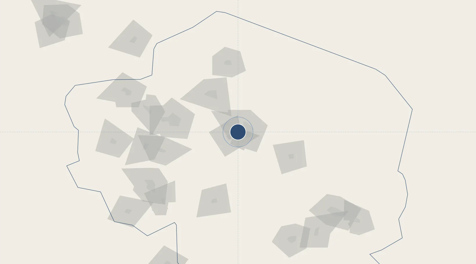
30.2713°, 56.9497°
12,635 ft
Longest runway
2
Runways
5,741 ft
Elevation

Runway & Layout

Ayatollah Hashemi Rafsanjani International Airport runway & taxiway layout
Runway & taxiway layout — OpenStreetMap (ODbL) / OurAirports

Radio Frequencies

ATIS
127.25 MHz
TWR
122.5 MHz
OurAirports

Navaids

KER TACAN Kerman 115.00 MHz
KER VOR-DME Kerman 114.20 MHz
KER NDB Kerman 290 kHz
OurAirports

Runways · 2

RunwayDimensions SurfaceTrue headingLit
16L/34R 12,635 × 148ft Asphalt 158°
16R/34L 12,631 × 148ft Asphalt
OurAirports

Airport Specifications

IATA code
KER
OurAirports
ICAO code
OIKK
OurAirports
Airport class
Large airport
OurAirports
Scheduled service
Yes
OurAirports
Runway surface
Asphalt
OurAirports
Served city
Kerman
OurAirports

Location

Location of OIKK
Natural Earth 10m (public domain) · Kerman · OIKK · 30.27, 56.95GoogleOSMYandex

Nearby Logistics Neighbours

Airports
  1. 1Rafsanjan Airport87 km
  2. 2Sirjan Airport147 km
  3. 3Jiroft Airport186 km
  4. 4Bam Airport196 km
  5. 5Oghab 44 Airbase283 km
Nearest neighbours — logibook spatial index (haversine) over the source coordinates
Cities
  1. 1Shahid Bahonar357 km
  2. 2Bandar Abbas357 km
  3. 3Shahid Rajaee Pt/Bandar Abbas361 km
  4. 4Dehbid362 km
  5. 5Kuvei381 km
Nearest neighbours — logibook spatial index (haversine) over the source coordinates
Ports
  1. 1Bandar Abbas355 km
  2. 2Jazireh-Ye Hormoz356 km
  3. 3Bandar-E Shahid Rejaie363 km
  4. 4Khawr Khasab456 km
  5. 5Mina Saqr485 km
Nearest neighbours — logibook spatial index (haversine) over the source coordinates
Trade Zones
  1. 1Rafsanjan Special Economic Zone71 km
  2. 2Sirjan Special Economic Zone156 km
  3. 3Arg-e-Jadid Special Economic Zone201 km
  4. 4Neyriz Special Economic Zone284 km
  5. 5Special Economic Zone of the Persian Gulf Mining and Metal Industries359 km
Nearest neighbours — logibook spatial index (haversine) over the source coordinates
DatabookThe Record of Consolidated Knowledge
Iran beyond logistics?
Browse databook

All Sources

AirportsOurAirports
Public domain
Portsthe NGA World Port Index
Public domain (US gov)
LocationsUN/LOCODE
UN/LOCODE — free
Trade Zonesthe World Bank SEZ database
CC BY 4.0
Trade ZonesOpen Zone Map
CC BY
InfrastructureOpenStreetMap
ODbL 1.0
← Iran airports