Medium airport · Iran
Badr Air BaseOIFP
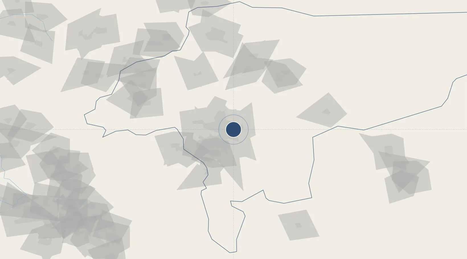
32.6211°, 51.6970°
10,920 ft
Longest runway
2
Runways
5,242 ft
Elevation
Runway & Layout

Radio Frequencies
TWR
118.1 MHz
Runways · 2
| Runway | Dimensions | Surface | True heading | Lit |
|---|---|---|---|---|
| 08L/26R | 10,920 × 140ft | Asphalt | 085° | ✓ |
| 08R/26L | 1,467 × 97ft | Asphalt | 086° | — |
Airport Specifications
ICAO code
OIFP
Airport class
Medium airport
Scheduled service
No
Runway surface
Asphalt
Served city
Esfahan
Location
Nearby Logistics Neighbours
Airports
- 1Isfahan Shahid Beheshti International Airport23 km
- 2Shahrekord Airport88 km
- 3Kashan Airport142 km
- 4Yasuj Airport214 km
- 5Shahid Asiyaee Airport238 km
Ports
- 1Bandar-E Mahshahr338 km
- 2Bandar Khomeyni347 km
- 3Kharg Island Oil Terminal399 km
- 4Abadan412 km
- 5Khorramshahr412 km
Trade Zones
DatabookThe Record of Consolidated Knowledge
Iran beyond logistics?