Large airport · Iran

Isfahan Shahid Beheshti International AirportOIFM
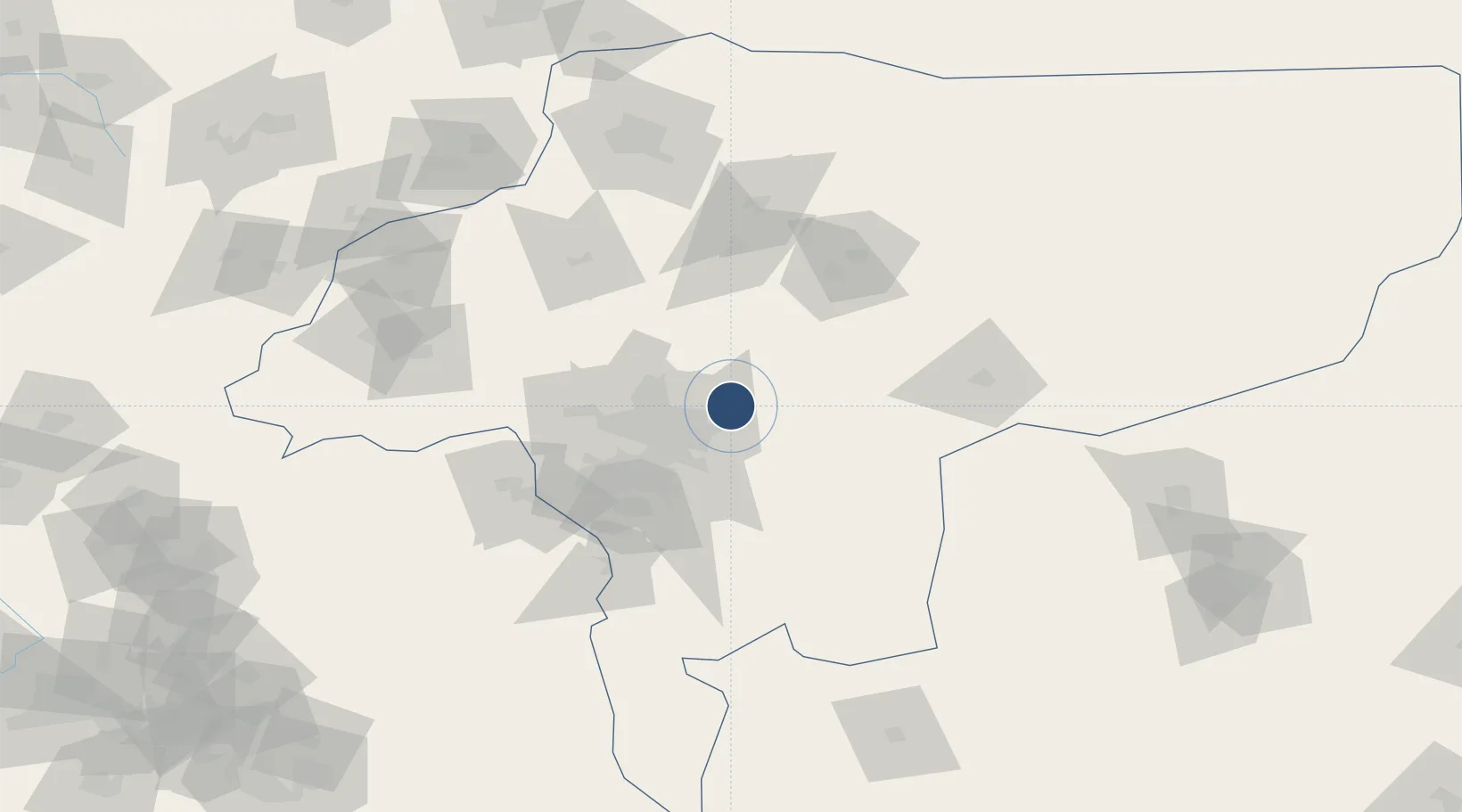
32.7551°, 51.8839°
14,425 ft
Longest runway
2
Runways
5,059 ft
Elevation

Runway & Layout

Isfahan Shahid Beheshti International Airport runway & taxiway layout
Runway & taxiway layout — OpenStreetMap (ODbL) / OurAirports

Radio Frequencies

ATIS
128.25 MHz
TWR
118.3 MHz
GND
121.9 MHz
APP
121.6 MHz
APP
122.05 MHz
OurAirports

Navaids

IFN TACAN Esfahan 117.10 MHz
IFN NDB Esfahan 337 kHz
ISN VOR-DME Esfahan 113.20 MHz
OurAirports

Runways · 2

RunwayDimensions SurfaceTrue headingLit
07L/25R 14,425 × 148ft Asphalt 078°
07R/25L 14,425 × 148ft Asphalt 078°
OurAirports

Airport Specifications

IATA code
IFN
OurAirports
ICAO code
OIFM
OurAirports
Airport class
Large airport
OurAirports
Scheduled service
Yes
OurAirports
Runway surface
Asphalt
OurAirports
Served city
Isfahan
OurAirports

Location

Location of OIFM
Natural Earth 10m (public domain) · Esfahan · OIFM · 32.76, 51.88GoogleOSMYandex

Nearby Logistics Neighbours

Airports
  1. 1Badr Air Base23 km
  2. 2Shahrekord Airport110 km
  3. 3Kashan Airport130 km
  4. 4Yasuj Airport231 km
  5. 5Shahid Asiyaee Airport260 km
Nearest neighbours — logibook spatial index (haversine) over the source coordinates
Cities
  1. 1Malekan219 km
  2. 2Dehbid268 km
  3. 3Baneh273 km
  4. 4Ganaveh275 km
  5. 5Abadeh309 km
Nearest neighbours — logibook spatial index (haversine) over the source coordinates
Ports
  1. 1Bandar-E Mahshahr361 km
  2. 2Bandar Khomeyni370 km
  3. 3Kharg Island Oil Terminal419 km
  4. 4Bushehr431 km
  5. 5Abadan435 km
Nearest neighbours — logibook spatial index (haversine) over the source coordinates
Trade Zones
  1. 1Shahrekord ShahrKord Special Economic Zone112 km
  2. 2Kashan Special Economic Zone145 km
  3. 3Salafchegan Special Economic Zone230 km
  4. 4Garmsar Special Economic Zone276 km
  5. 5Rey Special Economic Zone294 km
Nearest neighbours — logibook spatial index (haversine) over the source coordinates
DatabookThe Record of Consolidated Knowledge
Iran beyond logistics?
Browse databook

All Sources

AirportsOurAirports
Public domain
Portsthe NGA World Port Index
Public domain (US gov)
LocationsUN/LOCODE
UN/LOCODE — free
Trade Zonesthe World Bank SEZ database
CC BY 4.0
Trade ZonesOpen Zone Map
CC BY
InfrastructureOpenStreetMap
ODbL 1.0
← Iran airports