UN/LOCODE hub · Saudi Arabia
SAJBI
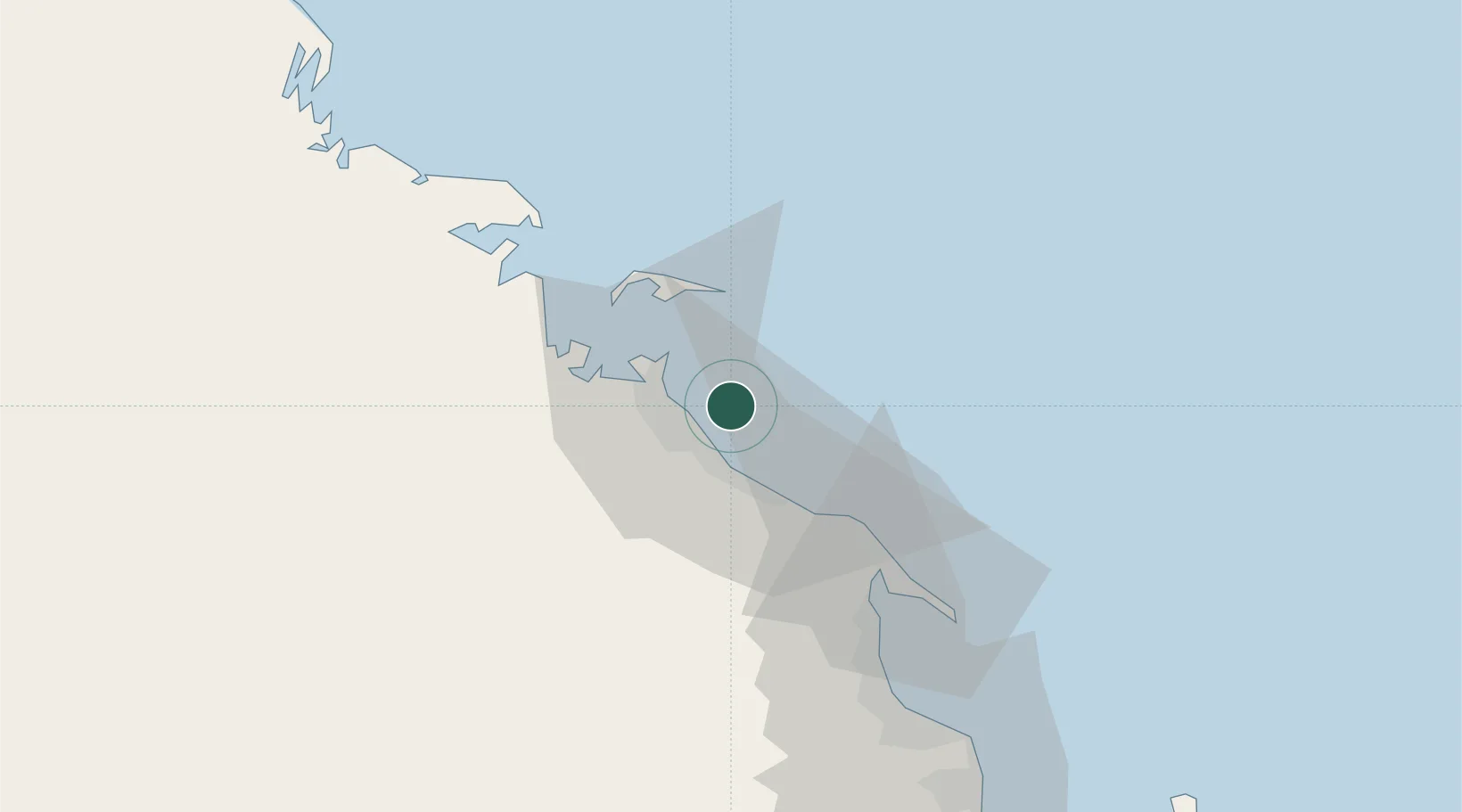
Al Jubayl Industrial City
27.0833°, 49.7000°
2
Transport functions
Transport Functions
Port
Road
Hub Profile
Place type
Urban district
Region
Eastern Province
Time zone
Asia/Riyadh
Elevation
7 m
Location
Nearby Logistics Neighbours
Cities
- 1Jubail13 km
- 2Juaymah Terminal36 km
- 3Ras Tanura67 km
- 4Ras Al-Khair72 km
- 5Ad Dammam84 km
Ports
- 1Ju Aymah Oil Terminal37 km
- 2Ras Tannurah68 km
- 3Dammam82 km
- 4Al Manamah129 km
- 5Mina Salman135 km
Airports
- 1Jubail Airport30 km
- 2Ras Tanura Airport52 km
- 3King Fahd International Airport69 km
- 4King Abdulaziz Air Base101 km
- 5Ras Tanajib Airport127 km
Trade Zones
DatabookThe Record of Consolidated Knowledge
Saudi Arabia beyond logistics?