Medium airport · Saudi Arabia

Ras Tanura AirportOERT
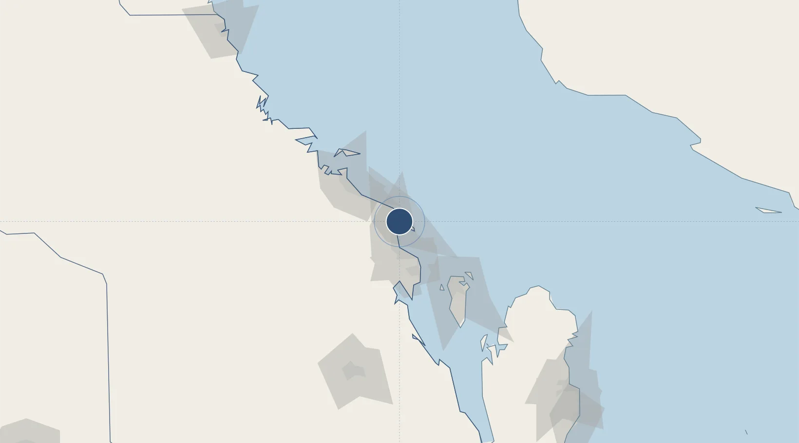
26.7231°, 50.0308°
7,063 ft
Longest runway
1
Runways
6 ft
Elevation

Runway & Layout

Ras Tanura Airport runway & taxiway layout
Runway & taxiway layout — OpenStreetMap (ODbL) / OurAirports

Radio Frequencies

CTAF
122.4 MHz
A/G
138.2 MHz
AG
OurAirports

Navaids

RT NDB Ras Tanura 286 kHz
OurAirports

Runways · 1

RunwayDimensions SurfaceTrue headingLit
15/33 7,063 × 98ft Asphalt 152°
OurAirports

Airport Specifications

ICAO code
OERT
OurAirports
Airport class
Medium airport
OurAirports
Scheduled service
No
OurAirports
Runway surface
Asphalt
OurAirports
Served city
Ras Tanura
OurAirports

Location

Location of OERT
Natural Earth 10m (public domain) · Ash Sharqiyah · OERT · 26.72, 50.03GoogleOSMYandex

Nearby Logistics Neighbours

Airports
  1. 1King Fahd International Airport37 km
  2. 2King Abdulaziz Air Base52 km
  3. 3Jubail Airport71 km
  4. 4Bahrain International Airport79 km
  5. 5Sheik Isa Air Base105 km
Nearest neighbours — logibook spatial index (haversine) over the source coordinates
Cities
  1. 1Ras Tanura16 km
  2. 2Juaymah Terminal22 km
  3. 3Ad Dammam33 km
  4. 4Al Khobar52 km
  5. 5Al Jubayl Industrial City52 km
Nearest neighbours — logibook spatial index (haversine) over the source coordinates
Ports
  1. 1Ras Tannurah17 km
  2. 2Ju Aymah Oil Terminal23 km
  3. 3Dammam30 km
  4. 4Al Jubayl54 km
  5. 5Al Manamah77 km
Nearest neighbours — logibook spatial index (haversine) over the source coordinates
Trade Zones
  1. 1Dammam Industrial City (First)38 km
  2. 2Al-Ahsa Al-Aḥsāʾ Modon Oasis47 km
  3. 3Dammam Industrial City (Second)52 km
  4. 4Jubail Industrial City55 km
  5. 5Al-Ahsa Al-Aḥsāʾ Industrial City Salwa (Second)63 km
Nearest neighbours — logibook spatial index (haversine) over the source coordinates
DatabookThe Record of Consolidated Knowledge
Saudi Arabia beyond logistics?
Browse databook

All Sources

AirportsOurAirports
Public domain
Portsthe NGA World Port Index
Public domain (US gov)
LocationsUN/LOCODE
UN/LOCODE — free
Trade Zonesthe World Bank SEZ database
CC BY 4.0
Trade ZonesOpen Zone Map
CC BY
InfrastructureOpenStreetMap
ODbL 1.0
← Saudi Arabia airports