Free Trade Zone · Saudi Arabia

Duhrma Industrial City Active
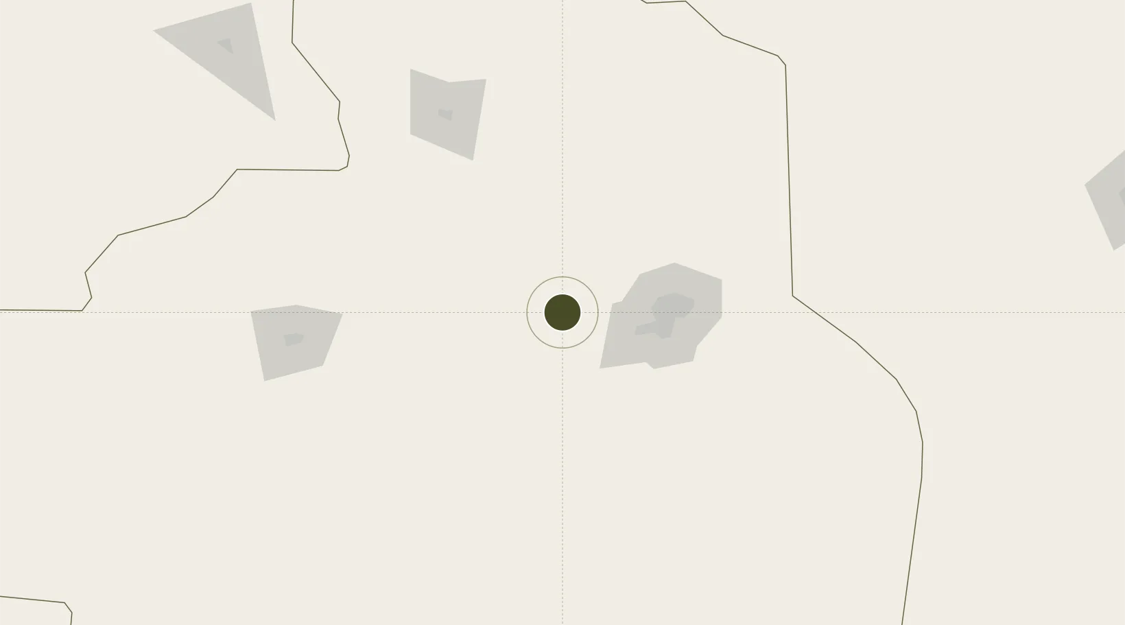
24.6858°, 46.0640°
1,150 ha
Zone area
448.2 km
Nearest port
65.0 km
Nearest airport

Gateway access

Nearest neighbours — logibook spatial index (haversine) over the source coordinates

Zone profile

Zone type
Free Trade Zone
Open Zone Map
Region
Ar Riyad
Open Zone Map
Status
Active
Open Zone Map
Management
Public
Open Zone Map
Operator
Saudi Authority for Industrial Estates and Technology Zones
Open Zone Map
Legal framework
Ministerial Legislation No. 235 dated 27/8/1422H
Open Zone Map

Location

Location of ozm-4078
Natural Earth 10m (public domain) · Ar Riyad · ozm-4078 · 24.69, 46.06GoogleOSMYandex

Nearby Logistics Neighbours

Ports
  1. 1Al Jubayl448 km
  2. 2Ras Al Mishab459 km
  3. 3Dammam461 km
  4. 4Ras Tannurah465 km
  5. 5Ju Aymah Oil Terminal469 km
Nearest neighbours — logibook spatial index (haversine) over the source coordinates
Airports
  1. 1King Salman Air Base65 km
  2. 2King Khalid International Airport71 km
  3. 3Prince Sultan Air Base169 km
  4. 4Dawadmi Domestic Airport198 km
  5. 5Prince Naif bin Abdulaziz International Airport292 km
Nearest neighbours — logibook spatial index (haversine) over the source coordinates
Cities
  1. 1Riyadh Dry Port72 km
  2. 2Buraydah278 km
  3. 3Harad309 km
  4. 4Jubail438 km
  5. 5Ras Al-Khair447 km
Nearest neighbours — logibook spatial index (haversine) over the source coordinates
DatabookThe Record of Consolidated Knowledge
Saudi Arabia beyond logistics?
Browse databook

All Sources

Trade ZonesOpen Zone Map
CC BY
Portsthe NGA World Port Index
Public domain (US gov)
AirportsOurAirports
Public domain
LocationsUN/LOCODE
UN/LOCODE — free
← Saudi Arabia trade zones