Runway & Layout

Airport Specifications
IATA code
LPM
ICAO code
NVSL
Airport class
Small airport
Scheduled service
Yes
Served city
Lamap
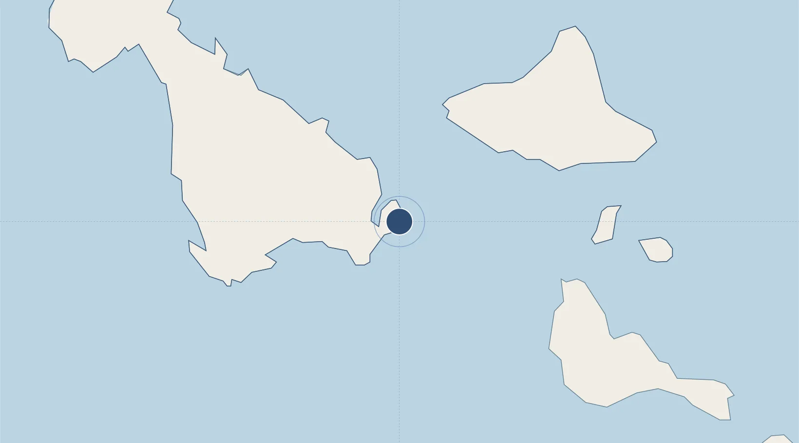
Location
Nearby Logistics Neighbours
Airports
- 1Craig Cove Airport24 km
- 2Lamen Bay Airport38 km
- 3Tavie Airport43 km
- 4Valesdir Airport53 km
- 5Norsup Airport62 km
Cities
- 1Luganville125 km
- 2Havannah Harbour132 km
- 3Lifou505 km
- 4Maré561 km
- 5Wala571 km
Ports
- 1Luganville127 km
- 2Port Vila151 km
- 3Baie Ugue574 km
- 4Baie De Kouaoua587 km
- 5Noumea664 km
Trade Zones
- 1Vanuatu Economic Development Zone128 km
- 2Lautoka Special Zone1029 km
- 3Rotuma-Kadavu Tax-Free Region1140 km
- 4Kalabu Tax Free Zone1145 km
- 5Nausori-Ba Tax-Free Region1149 km
DatabookThe Record of Consolidated Knowledge
Vanuatu beyond logistics?