Small airport · Vanuatu
Lonorore AirportNVSO
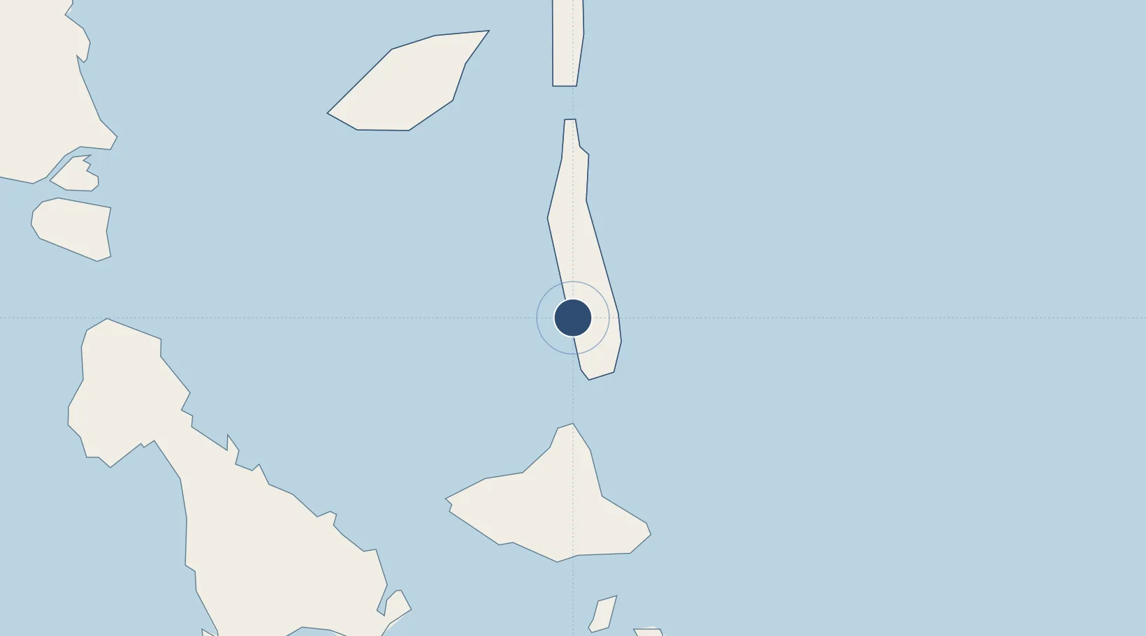
-15.8656°, 168.1720°
2,175 ft
Longest runway
1
Runways
43 ft
Elevation
Runway & Layout

Runways · 1
| Runway | Dimensions | Surface | True heading | Lit |
|---|---|---|---|---|
| 15/33 | 2,175 × 66ft | Grass | — | — |
Airport Specifications
IATA code
LNE
ICAO code
NVSO
Airport class
Small airport
Scheduled service
Yes
Runway surface
Grass
Served city
Lonorore
Location
Nearby Logistics Neighbours
Airports
- 1Sara Airport44 km
- 2Craig Cove Airport52 km
- 3Tavie Airport63 km
- 4Longana Airport66 km
- 5Walaha Airport72 km
Cities
- 1Luganville114 km
- 2Havannah Harbour191 km
- 3Lifou576 km
- 4Maré627 km
- 5Nemba627 km
Ports
- 1Luganville114 km
- 2Port Vila208 km
- 3Baie Ugue649 km
- 4Baie De Kouaoua662 km
- 5Noumea737 km
Trade Zones
- 1Vanuatu Economic Development Zone115 km
- 2Lautoka Special Zone1005 km
- 3Rotuma-Kadavu Tax-Free Region1119 km
- 4Kalabu Tax Free Zone1124 km
- 5Nausori-Ba Tax-Free Region1127 km
DatabookThe Record of Consolidated Knowledge
Vanuatu beyond logistics?