Small airport · Vanuatu
Sara AirportNVSH
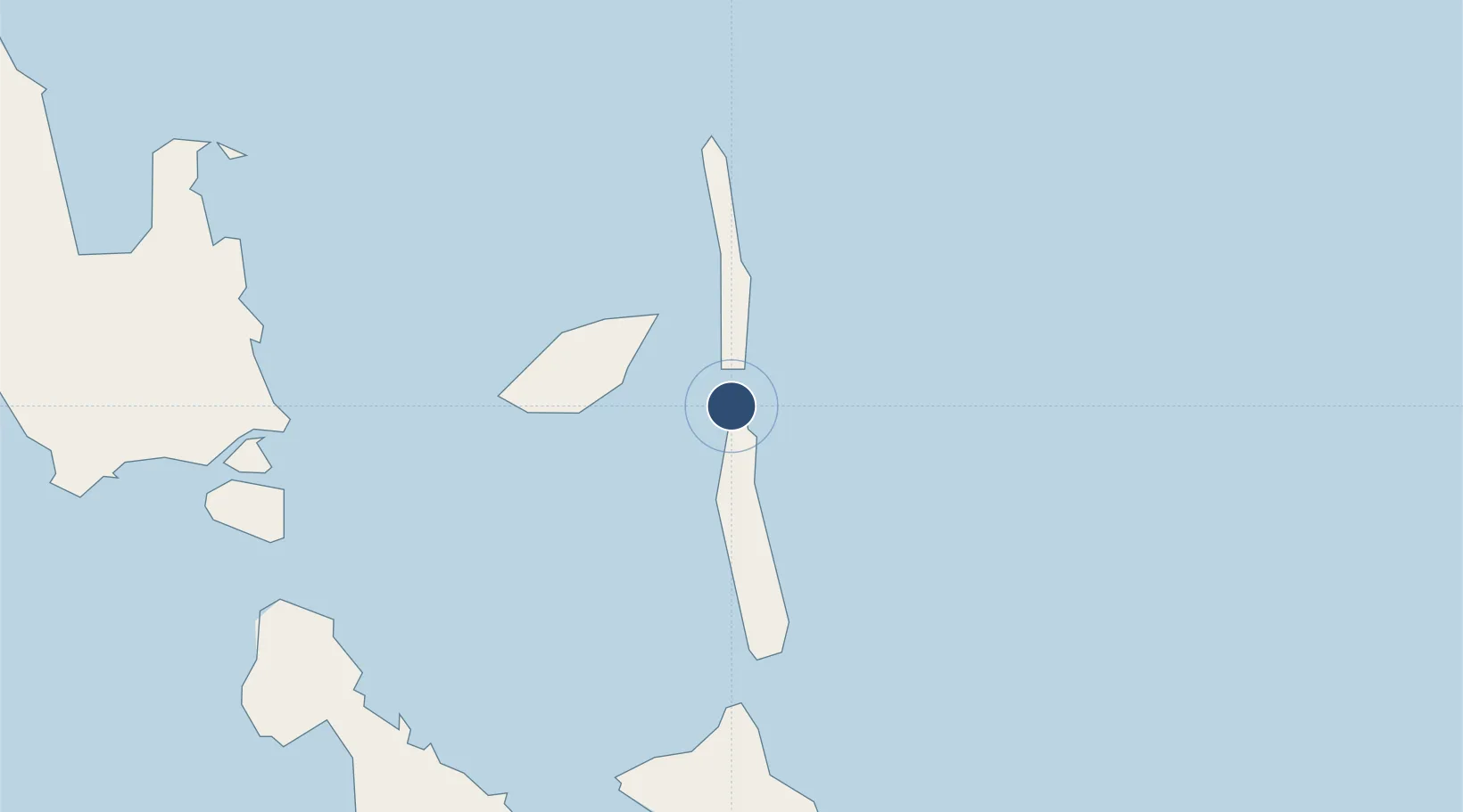
-15.4708°, 168.1520°
1,969 ft
Longest runway
1
Runways
493 ft
Elevation
Runway & Layout

Runways · 1
| Runway | Dimensions | Surface | True heading | Lit |
|---|---|---|---|---|
| 13/31 | 1,969 × 98ft | Coral | — | — |
Airport Specifications
IATA code
SSR
ICAO code
NVSH
Airport class
Small airport
Scheduled service
Yes
Runway surface
Coral
Served city
Pentecost Island
Location
Nearby Logistics Neighbours
Airports
- 1Longana Airport27 km
- 2Lonorore Airport44 km
- 3Walaha Airport50 km
- 4Craig Cove Airport92 km
- 5Santo Pekoa International Airport100 km
Cities
- 1Luganville106 km
- 2Havannah Harbour235 km
- 3Nemba587 km
- 4Lata587 km
- 5Lifou619 km
Ports
- 1Luganville106 km
- 2Port Vila252 km
- 3Baie Ugue689 km
- 4Baie De Kouaoua702 km
- 5Noumea779 km
Trade Zones
- 1Vanuatu Economic Development Zone106 km
- 2Lautoka Special Zone1018 km
- 3Tulagi Island Special Economic Zone1122 km
- 4Rotuma-Kadavu Tax-Free Region1132 km
- 5Kalabu Tax Free Zone1137 km
DatabookThe Record of Consolidated Knowledge
Vanuatu beyond logistics?