Small airport · Vanuatu
Craig Cove AirportNVSF
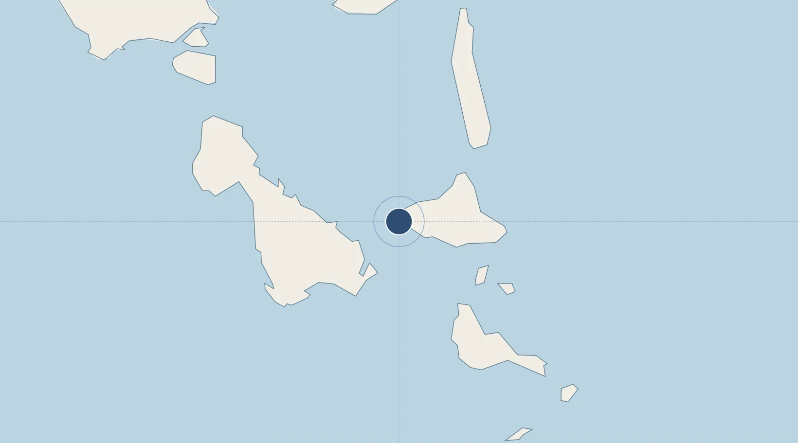
-16.2650°, 167.9240°
2,674 ft
Longest runway
1
Runways
69 ft
Elevation
Runway & Layout

Runways · 1
| Runway | Dimensions | Surface | True heading | Lit |
|---|---|---|---|---|
| 11/29 | 2,674 × 69ft | Volcanic ash impregnated with bitumen | — | — |
Airport Specifications
IATA code
CCV
ICAO code
NVSF
Airport class
Small airport
Scheduled service
Yes
Runway surface
Volcanic ash impregnated with bitumen
Served city
Craig Cove
Location
Nearby Logistics Neighbours
Airports
- 1Lamap Airport24 km
- 2Tavie Airport38 km
- 3Lamen Bay Airport44 km
- 4Lonorore Airport52 km
- 5Norsup Airport60 km
Cities
- 1Luganville115 km
- 2Havannah Harbour150 km
- 3Lifou528 km
- 4Maré582 km
- 5Wala593 km
Ports
- 1Luganville116 km
- 2Port Vila169 km
- 3Baie Ugue598 km
- 4Baie De Kouaoua611 km
- 5Noumea687 km
Trade Zones
- 1Vanuatu Economic Development Zone117 km
- 2Lautoka Special Zone1023 km
- 3Rotuma-Kadavu Tax-Free Region1134 km
- 4Kalabu Tax Free Zone1140 km
- 5Nausori-Ba Tax-Free Region1143 km
DatabookThe Record of Consolidated Knowledge
Vanuatu beyond logistics?