Transport Functions
Port
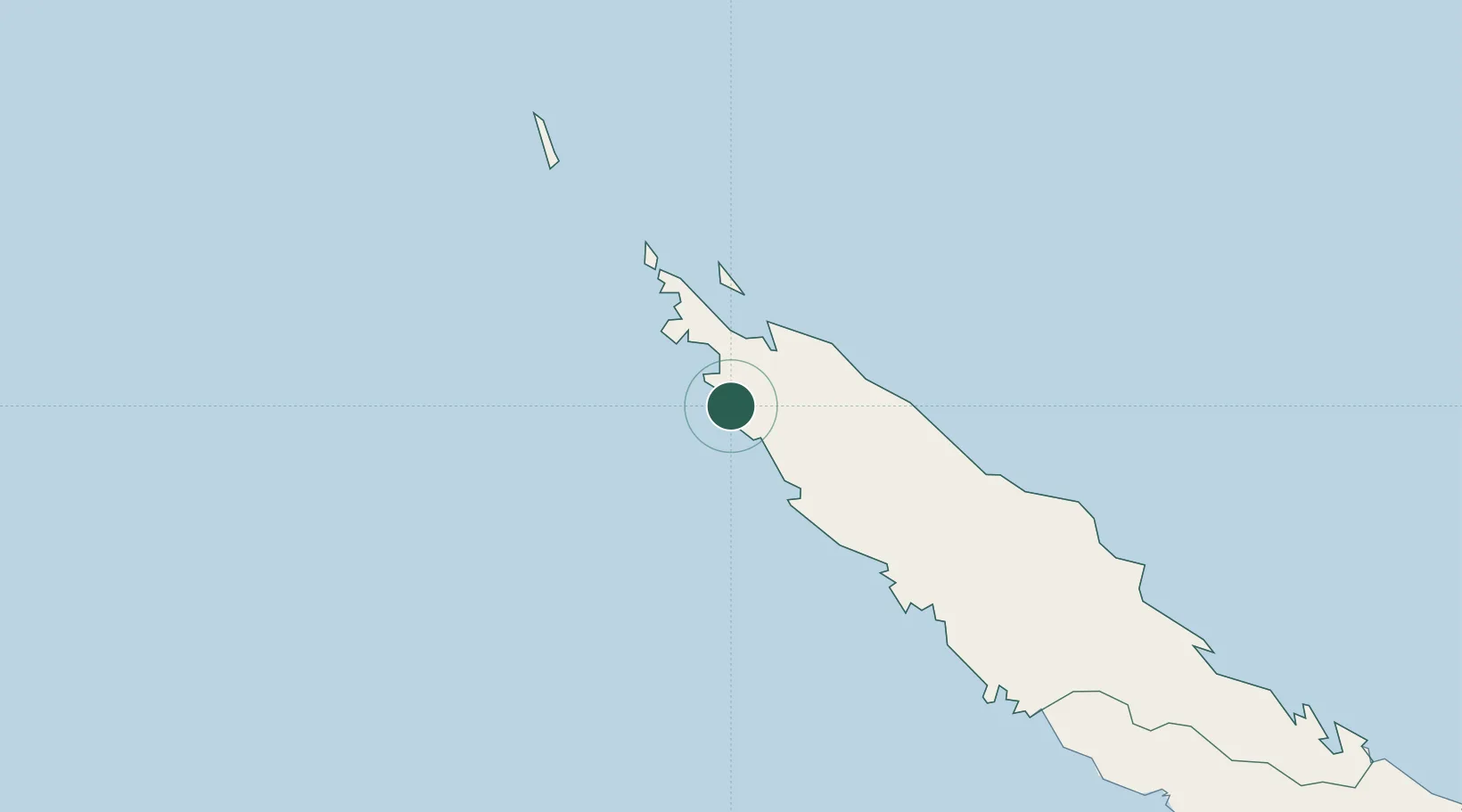
Hub Profile
Place type
Populated place
Region
North Province
Time zone
Pacific/Noumea
Elevation
11 m
Location
Nearby Logistics Neighbours
Ports
- 1Baie Ugue159 km
- 2Baie De Kouaoua196 km
- 3Noumea306 km
- 4Port Vila530 km
- 5Luganville635 km
Airports
- 1Koumac Airport9 km
- 2Koné Airport92 km
- 3Île Art - Waala Airport102 km
- 4Touho Airport115 km
- 5Ouvéa Airport248 km
Trade Zones
- 1Vanuatu Economic Development Zone636 km
- 2Tulagi Island Special Economic Zone1339 km
- 3Lautoka Special Zone1427 km
- 4Rotuma-Kadavu Tax-Free Region1514 km
- 5Kalabu Tax Free Zone1522 km
DatabookThe Record of Consolidated Knowledge
New Caledonia beyond logistics?