Large airport · Belize

Philip S. W. Goldson International AirportMZBZ
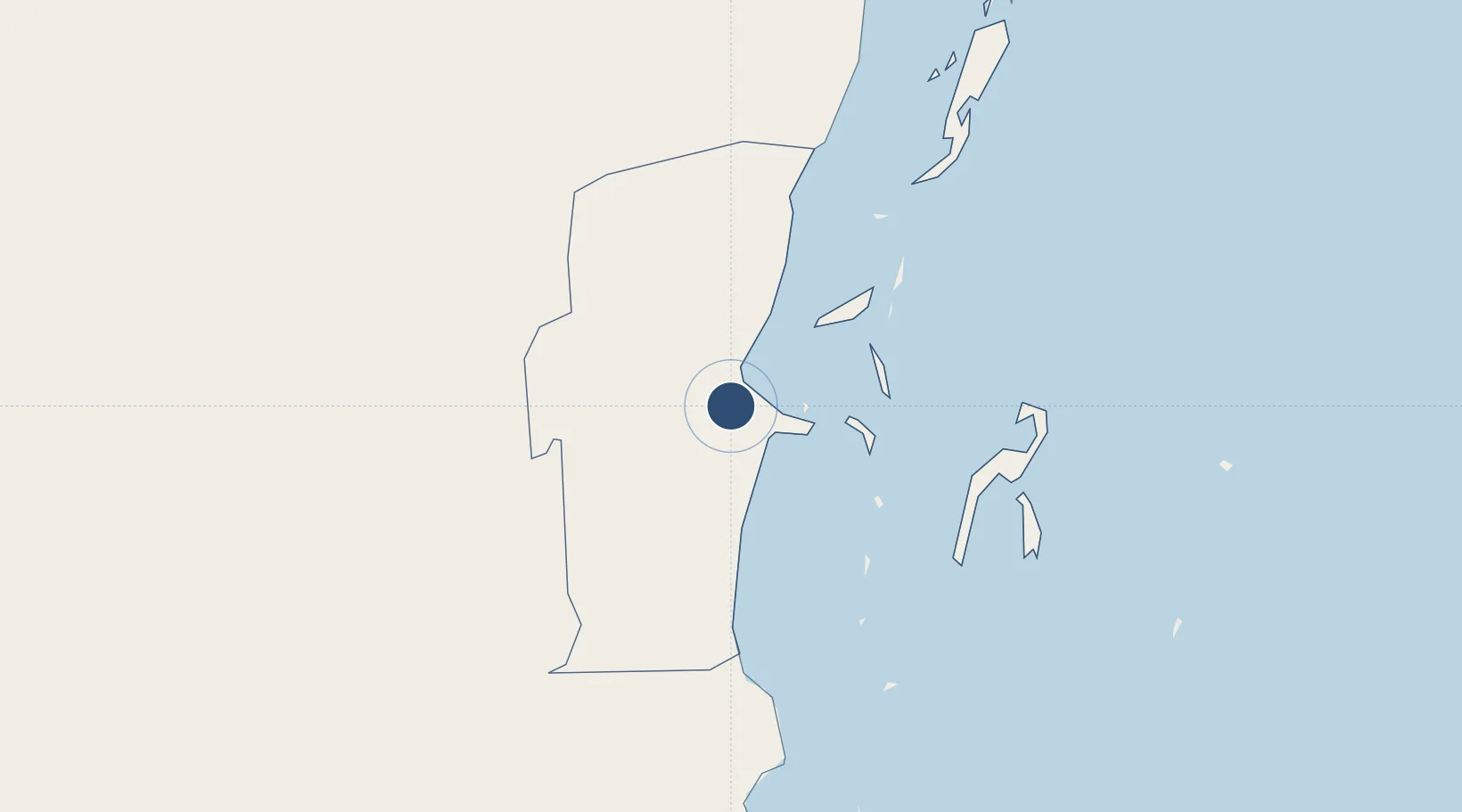
17.5400°, -88.3036°
9,678 ft
Longest runway
1
Runways
15 ft
Elevation

Runway & Layout

Philip S. W. Goldson International Airport runway & taxiway layout
Runway & taxiway layout — OpenStreetMap (ODbL) / OurAirports

Radio Frequencies

TWR
118 MHz
BELIZE TWR
GND
121.9 MHz
APP
121 MHz
BELIZE APP
RDO
126.9 MHz
BELIZE RDO
OurAirports

Navaids

BZE VOR-DME Belize 114.30 MHz
BZE NDB Belize 392 kHz
OurAirports

Runways · 1

RunwayDimensions SurfaceTrue headingLit
07/25 9,678 × 148ft Asphalt 077°
OurAirports

Airport Specifications

IATA code
BZE
OurAirports
ICAO code
MZBZ
OurAirports
Airport class
Large airport
OurAirports
Scheduled service
Yes
OurAirports
Runway surface
Asphalt
OurAirports
Served city
Belize City
OurAirports

Location

Location of MZBZ
Natural Earth 10m (public domain) · Belize · MZBZ · 17.54, -88.30GoogleOSMYandex

Nearby Logistics Neighbours

Airports
  1. 1Sir Barry Bowen Municipal Airport12 km
  2. 2Caye Chapel Airport32 km
  3. 3Caye Caulker Airport36 km
  4. 4John Greif II Airport55 km
  5. 5Dangriga Airport63 km
Nearest neighbours — logibook spatial index (haversine) over the source coordinates
Cities
  1. 1Belize City12 km
  2. 2Dangriga64 km
  3. 3Benque Viejo82 km
  4. 4Big Creek115 km
  5. 5Barranco183 km
Nearest neighbours — logibook spatial index (haversine) over the source coordinates
Ports
  1. 1Belize City14 km
  2. 2Big Creek114 km
  3. 3Puerto Costa Maya148 km
  4. 4Puerto Cortes194 km
  5. 5Puerto Barrios203 km
Nearest neighbours — logibook spatial index (haversine) over the source coordinates
Trade Zones
  1. 1Price Barracks1 km
  2. 2Philip Goldson International Airport1 km
  3. 3San Andres Export Processing Zone94 km
  4. 4Corozol Free Zone106 km
  5. 5Special Economic Zone of Chetumal107 km
Nearest neighbours — logibook spatial index (haversine) over the source coordinates
DatabookThe Record of Consolidated Knowledge
Belize beyond logistics?
Browse databook

All Sources

AirportsOurAirports
Public domain
Portsthe NGA World Port Index
Public domain (US gov)
LocationsUN/LOCODE
UN/LOCODE — free
Trade Zonesthe World Bank SEZ database
CC BY 4.0
Trade ZonesOpen Zone Map
CC BY
InfrastructureOpenStreetMap
ODbL 1.0
← Belize airports