Transport Functions
Port
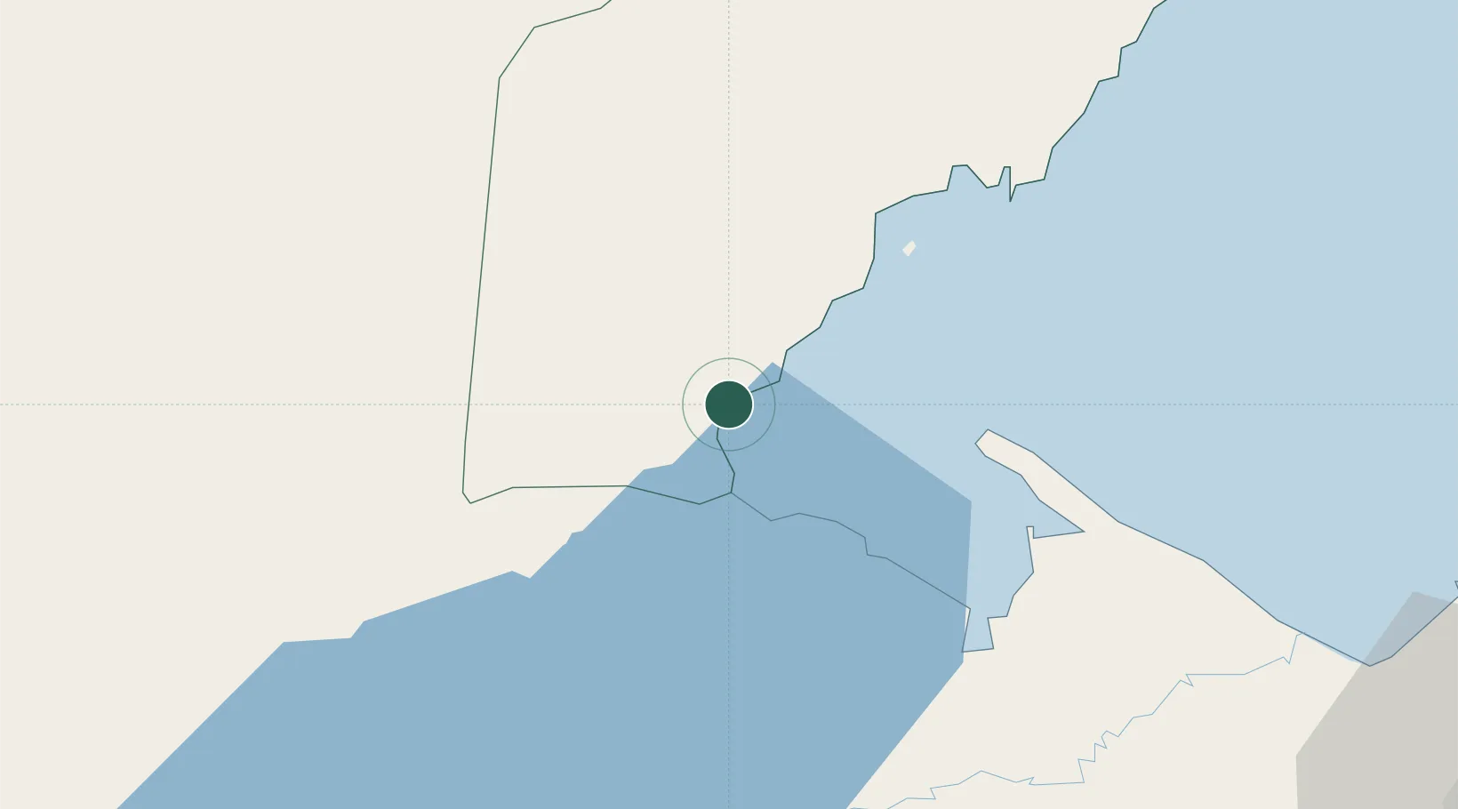
Hub Profile
Place type
Populated place
Region
Toledo District
Population
140
Time zone
America/Belize
Elevation
1 m
Location
Nearby Logistics Neighbours
Cities
- 1Lívingston26 km
- 2Puerto Barrios47 km
- 3Puerto Santo Tomás de Castilla48 km
- 4Santo Tomas49 km
- 5Entre Ríos58 km
Ports
- 1Puerto Barrios45 km
- 2Santo Tomas De Castilla46 km
- 3Big Creek80 km
- 4Puerto Cortes105 km
- 5Tela159 km
Airports
- 1Punta Gorda Airport16 km
- 2Puerto Barrios Airport47 km
- 3Independence Airport78 km
- 4Big Creek Airport79 km
- 5Placencia Airport84 km
Trade Zones
- 1Santo Tomas de Castillo Free Zone48 km
- 2Green Valley Industrial Park107 km
- 3Altia Smart City107 km
- 4Parque Industrial San Miguel110 km
- 5ZOLI Indhelva Free Zone111 km
DatabookThe Record of Consolidated Knowledge
Belize beyond logistics?