Runway & Layout

Airport Specifications
IATA code
CYC
ICAO code
MZCP
Airport class
Medium airport
Scheduled service
Yes
Served city
Caye Chapel
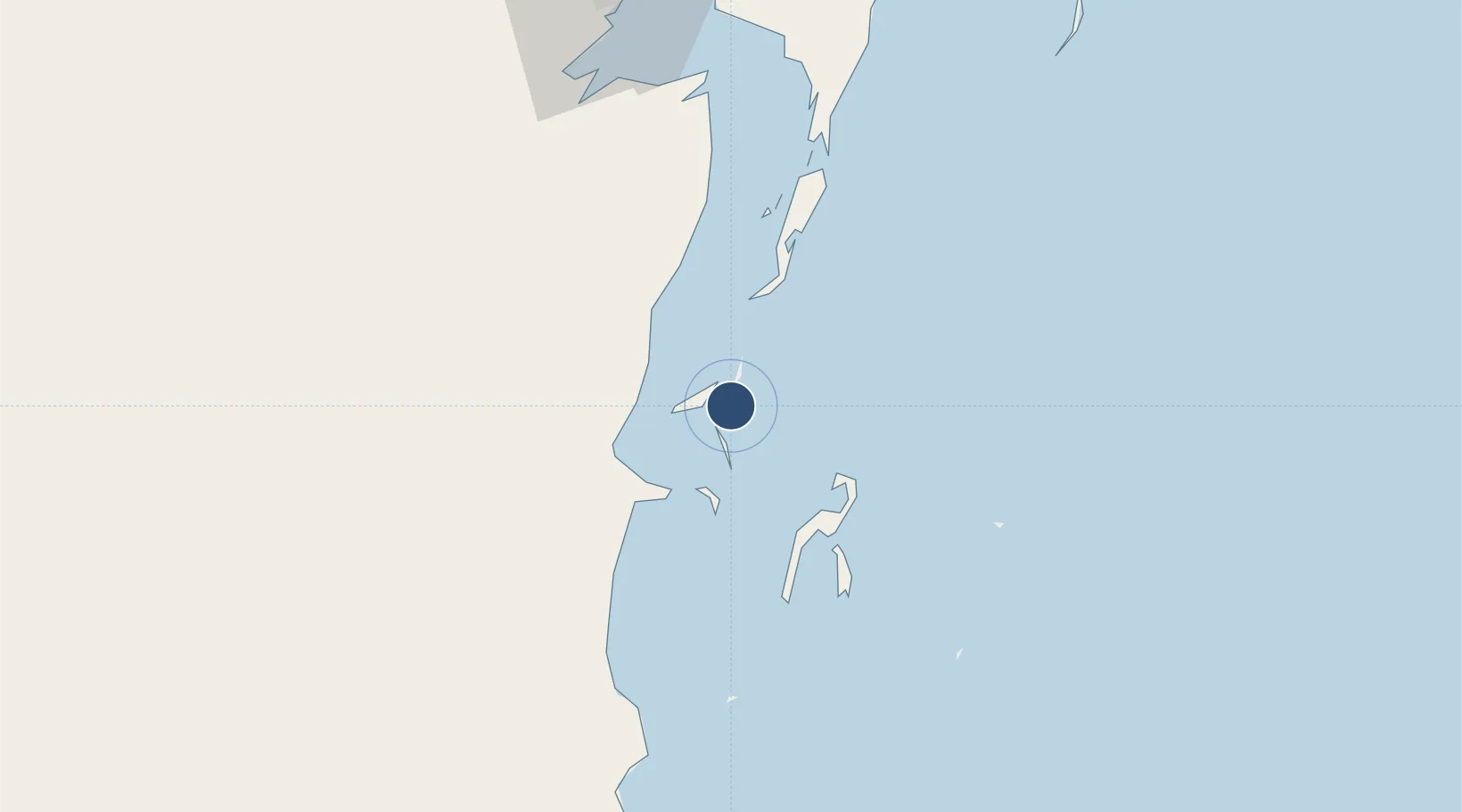
Location
Nearby Logistics Neighbours
Airports
Cities
- 1Belize City28 km
- 2Benque Viejo78 km
- 3Dangriga82 km
- 4Big Creek136 km
- 5Puerto Cortés207 km
Ports
- 1Belize City25 km
- 2Puerto Costa Maya123 km
- 3Big Creek135 km
- 4Puerto Cortes206 km
- 5Coxen Hole220 km
Trade Zones
DatabookThe Record of Consolidated Knowledge
Belize beyond logistics?