Runway & Layout

Airport Specifications
IATA code
DGA
ICAO code
MZPB
Airport class
Medium airport
Scheduled service
Yes
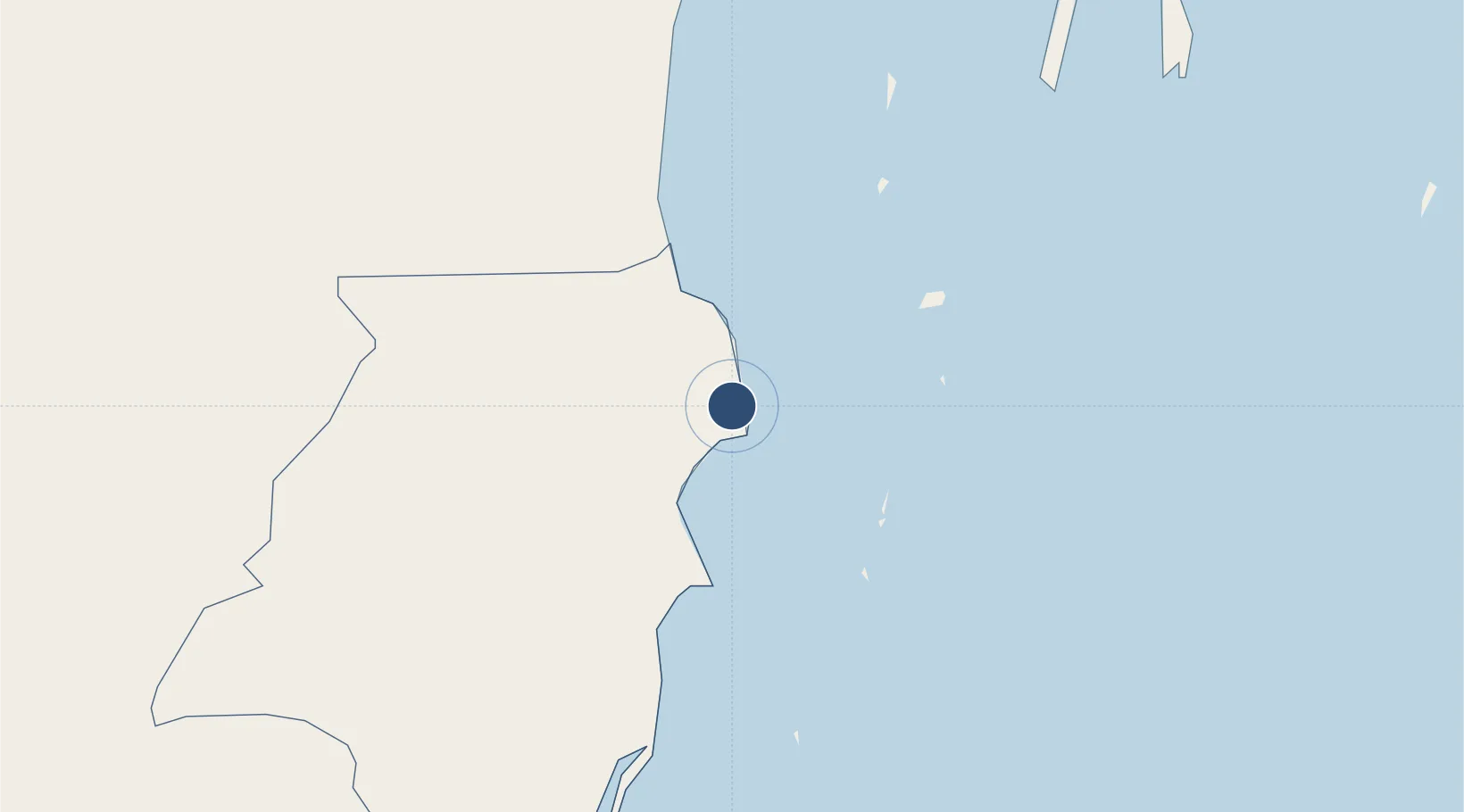
Served city
Dangriga
Location
Nearby Logistics Neighbours
Airports
Cities
- 1Dangriga2 km
- 2Big Creek55 km
- 3Belize City56 km
- 4Barranco132 km
- 5Puerto Cortés133 km
Ports
- 1Big Creek55 km
- 2Belize City58 km
- 3Puerto Cortes131 km
- 4Puerto Barrios144 km
- 5Santo Tomas De Castilla148 km
Trade Zones
DatabookThe Record of Consolidated Knowledge
Belize beyond logistics?