Runway & Layout

Airport Specifications
IATA code
TZA
ICAO code
MZBE
Airport class
Medium airport
Scheduled service
Yes
Served city
Belize City
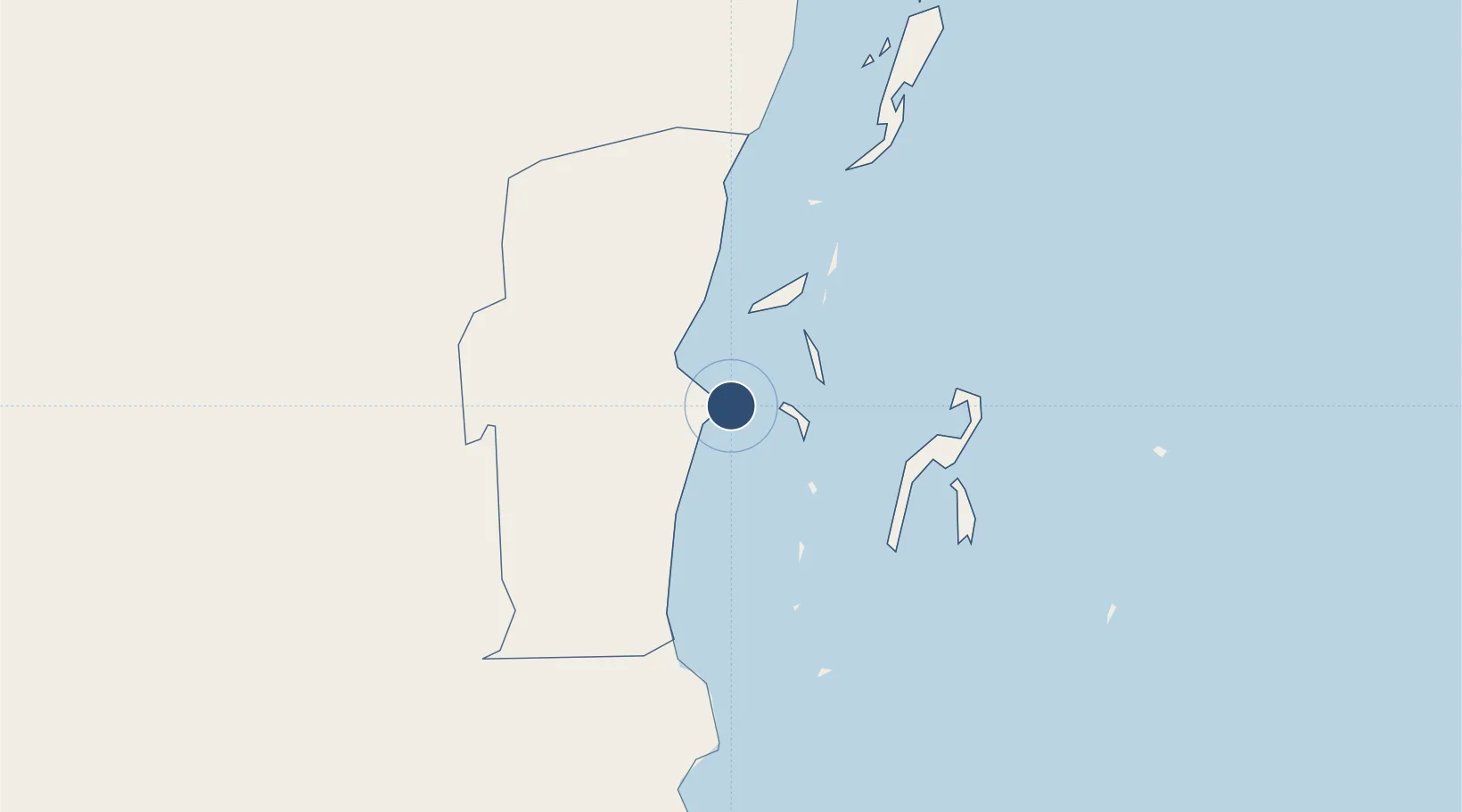
Location
Nearby Logistics Neighbours
Airports
- 1Philip S. W. Goldson International Airport12 km
- 2Caye Chapel Airport25 km
- 3Caye Caulker Airport30 km
- 4John Greif II Airport50 km
- 5Dangriga Airport60 km
Cities
- 1Belize City4 km
- 2Dangriga61 km
- 3Benque Viejo88 km
- 4Big Creek114 km
- 5Barranco185 km
Ports
- 1Belize City2 km
- 2Big Creek113 km
- 3Puerto Costa Maya146 km
- 4Puerto Cortes189 km
- 5Puerto Barrios203 km
Trade Zones
DatabookThe Record of Consolidated Knowledge
Belize beyond logistics?