Channel & Berth Profile
Pilotage, Tugs & Services
Pilotage compulsoryYES
Pilotage availableYES
Tug assistanceYES
Facilities & Capabilities
Container—
Ro-Ro—
Liquid bulk—
Dry bulk—
Oil terminal—
Break bulkYES
Dry dock—
Repairs—
Bunkering—
Rail link—
Dangerous cargo—
ISPS security—
Harbour Specifications
Water body
North Atlantic Ocean
Tidal range
0.6 m
Pilotage
Yes
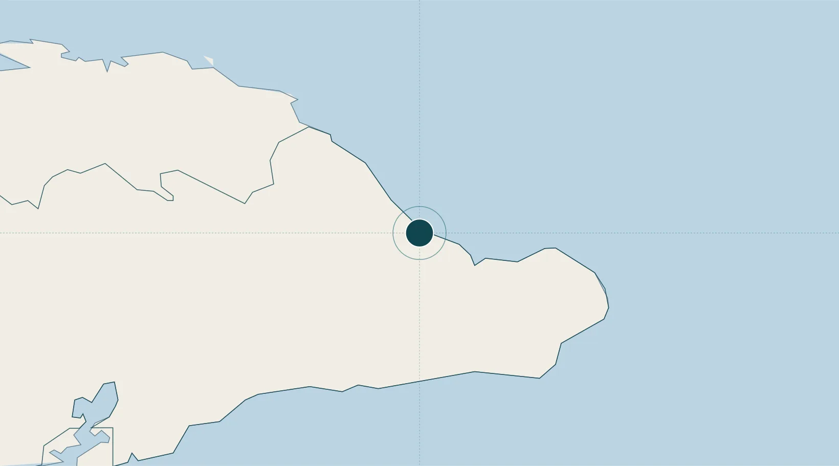
Location
Nearby Logistics Neighbours
Ports
- 1Cayo Moa Grande55 km
- 2Puerto Guantanamo78 km
- 3Bahia De Sagua De Tanamo94 km
- 4Matthew Town108 km
- 5Nicaro117 km
Cities
- 1Sagua de Tánamo81 km
- 2Banes144 km
- 3Santiago de Cuba144 km
- 4Pilón148 km
- 5Antilla150 km
Airports
- 1Gustavo Rizo Airport2 km
- 2Orestes Acosta Airport56 km
- 3Mariana Grajales Airport75 km
- 4Leeward Point Field89 km
- 5Inagua Airport111 km
Trade Zones
- 1FTZ de Trou du Nord270 km
- 2Caracol Free Zone271 km
- 3Lafito Port Free Zone291 km
- 4FTZ Hispaniola301 km
- 5CODEVI Free Zone303 km
DatabookThe Record of Consolidated Knowledge
Cuba beyond logistics?