Channel & Berth Profile
Pilotage, Tugs & Services
Pilotage compulsoryYES
Facilities & Capabilities
Container—
Ro-Ro—
Liquid bulk—
Dry bulk—
Oil terminal—
Break bulk—
Dry dock—
Repairs—
Bunkering—
Rail link—
Dangerous cargo—
ISPS security—
Harbour Specifications
Water body
North Atlantic Ocean
Tidal range
0.6 m
Pilotage
Yes
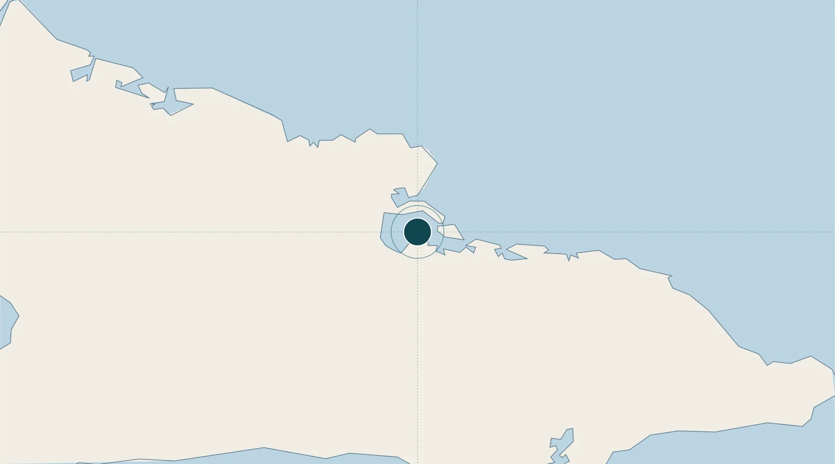
Location
Nearby Logistics Neighbours
Ports
- 1Felton6 km
- 2Antilla11 km
- 3Nicaro12 km
- 4Banes18 km
- 5Bahia De Sagua De Tanamo34 km
Cities
- 1Pilón20 km
- 2Antilla22 km
- 3Banes23 km
- 4Sagua de Tánamo48 km
- 5Puerto da Vita48 km
Airports
Trade Zones
- 158 HWT Tech Park330 km
- 2Kingston Free Zone333 km
- 3Kingston Wharves Terminal Special Economic Zone333 km
- 4Garmex Free Zone334 km
- 5Caymanas Special Economic Zone334 km
DatabookThe Record of Consolidated Knowledge
Cuba beyond logistics?