Transport Functions
Rail
Road
Hub Profile
Place type
Provincial seat
Region
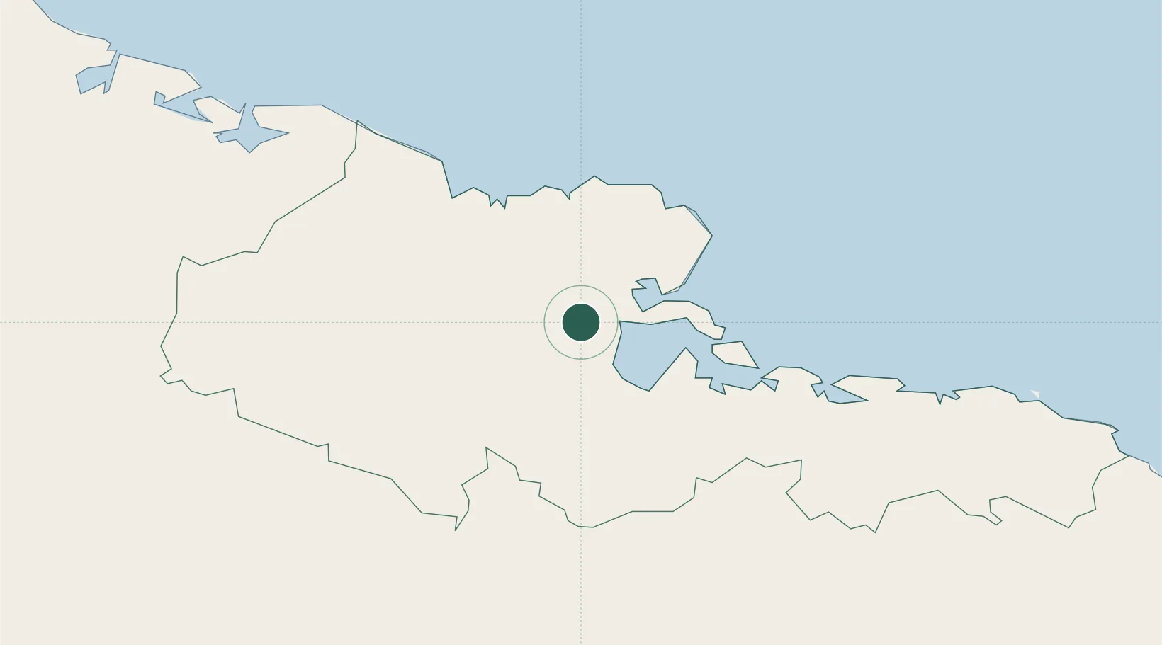
Holguín Province
Time zone
America/Havana
Elevation
27 m
Location
Nearby Logistics Neighbours
Cities
- 1Pilón4 km
- 2Banes20 km
- 3Puerto da Vita30 km
- 4Gibara42 km
- 5Sagua de Tánamo70 km
Airports
Trade Zones
- 158 HWT Tech Park330 km
- 2Kingston Free Zone333 km
- 3Kingston Wharves Terminal Special Economic Zone333 km
- 4Caymanas Special Economic Zone333 km
- 5Garmex Free Zone334 km
DatabookThe Record of Consolidated Knowledge
Cuba beyond logistics?