Large airport · Cuba
Antonio Maceo International AirportMUCU
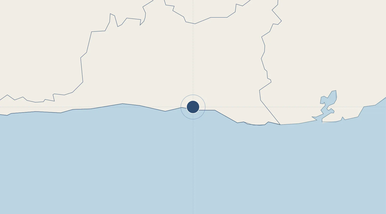
19.9747°, -75.8355°
13,130 ft
Longest runway
2
Runways
249 ft
Elevation
Runway & Layout

Radio Frequencies
TWR
118.1 MHz
MACEO TWR
APP
119.4 MHz
SANTIAGO APP
A/G
126.9 MHz
SANTIAGO RDO
A/G
1132.1 MHz
SANTIAGO RDO
Navaids
UCU VOR-DME Santiago De Cuba 113.30 MHz
UCU NDB Santiago De Cuba 339 kHz
Runways · 2
| Runway | Dimensions | Surface | True heading | Lit |
|---|---|---|---|---|
| 10/28 | 13,130 × 148ft | Asphalt | 091° | ✓ |
| 19/01 | 4,593 × 148ft | Asphalt | 179° | — |
Airport Specifications
IATA code
SCU
ICAO code
MUCU
Airport class
Large airport
Scheduled service
Yes
Runway surface
Asphalt
Served city
Santiago
Location
Nearby Logistics Neighbours
Airports
Cities
- 1Santiago de Cuba6 km
- 2Melgarejo13 km
- 3Sagua de Tánamo92 km
- 4Antilla96 km
- 5Pilón97 km
Ports
- 1Santiago De Cuba5 km
- 2Puerto Guantanamo73 km
- 3Nicaro88 km
- 4Felton88 km
- 5Preston90 km
Trade Zones
- 158 HWT Tech Park241 km
- 2Kingston Free Zone245 km
- 3Kingston Wharves Terminal Special Economic Zone245 km
- 4Garmex Free Zone245 km
- 5Caymanas Special Economic Zone246 km
DatabookThe Record of Consolidated Knowledge
Cuba beyond logistics?