Medium airport · Cuba
Gustavo Rizo AirportMUBA
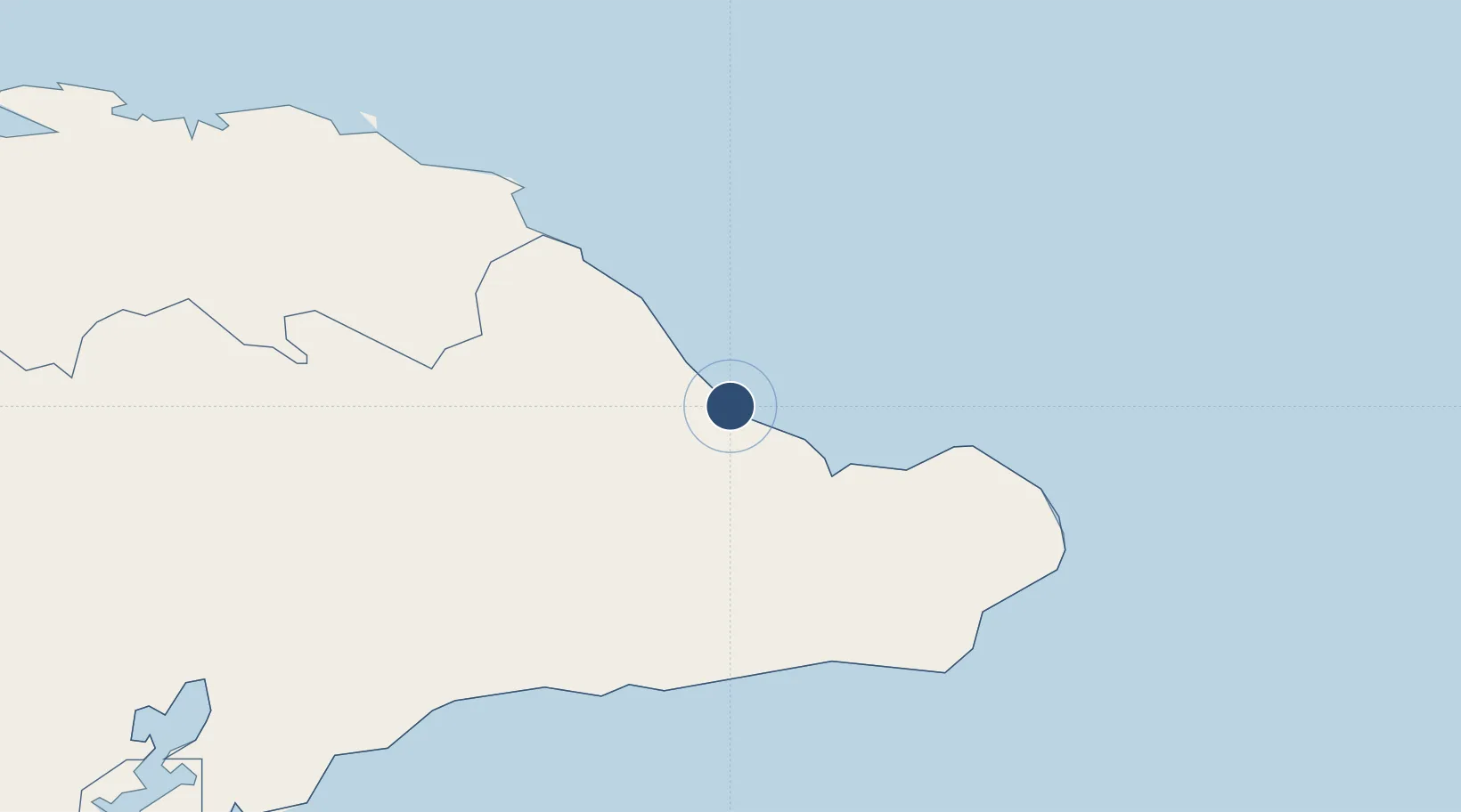
20.3653°, -74.5062°
6,070 ft
Longest runway
1
Runways
26 ft
Elevation
Runway & Layout

Radio Frequencies
TWR
122.5 MHz
BARACOA TWR
A/G
340.7 MHz
BARACOA RDO
Navaids
UBA NDB Baracoa 278 kHz
Runways · 1
| Runway | Dimensions | Surface | True heading | Lit |
|---|---|---|---|---|
| 16/34 | 6,070 × 98ft | Concrete | 155° | — |
Airport Specifications
IATA code
BCA
ICAO code
MUBA
Airport class
Medium airport
Scheduled service
Yes
Runway surface
Concrete
Served city
Baracoa
Location
Nearby Logistics Neighbours
Airports
- 1Orestes Acosta Airport54 km
- 2Mariana Grajales Airport75 km
- 3Leeward Point Field89 km
- 4Inagua Airport111 km
- 5Antonio Maceo International Airport145 km
Cities
- 1Sagua de Tánamo80 km
- 2Banes143 km
- 3Santiago de Cuba144 km
- 4Pilón147 km
- 5Antilla149 km
Ports
- 1Baracoa2 km
- 2Cayo Moa Grande53 km
- 3Puerto Guantanamo78 km
- 4Bahia De Sagua De Tanamo93 km
- 5Matthew Town108 km
Trade Zones
- 1FTZ de Trou du Nord271 km
- 2Caracol Free Zone272 km
- 3Lafito Port Free Zone292 km
- 4FTZ Hispaniola303 km
- 5CODEVI Free Zone305 km
DatabookThe Record of Consolidated Knowledge
Cuba beyond logistics?