UN/LOCODE hub · Mexico
MXIST

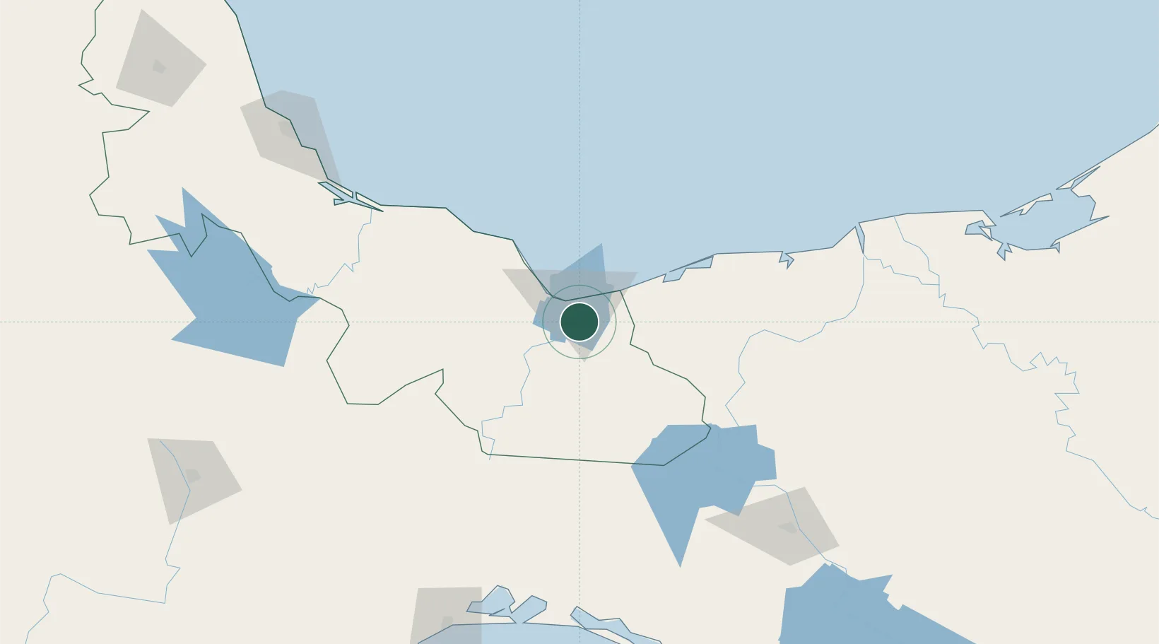
Ixhuatlan del Sureste

18.0167°, -94.3833°
10,149
Population
1
Transport functions

Transport Functions

Multimodal
UN/LOCODE

Hub Profile

Place type
Provincial seat
GeoNames
Region
Veracruz
GeoNames
Population
10,149
GeoNames
Time zone
America/Mexico_City
GeoNames
Elevation
60 m
GeoNames

Location

Location of MXIST
Natural Earth 10m (public domain) · Veracruz · MXIST · 18.02, -94.38GoogleOSMYandex

Nearby Logistics Neighbours

Cities
  1. 1Pajaritos11 km
  2. 2Coatzacoalcos13 km
  3. 3Rabon Grande/Coatzacoalcos22 km
  4. 4Cosoleacaque23 km
  5. 5Dos Bocas Terminal138 km
Nearest neighbours — logibook spatial index (haversine) over the source coordinates
Ports
  1. 1Nanchital7 km
  2. 2Coatzacoalcos15 km
  3. 3Minatitlan25 km
  4. 4Dos Bocas Terminal132 km
  5. 5Frontera192 km
Nearest neighbours — logibook spatial index (haversine) over the source coordinates
Trade Zones
  1. 1Special Economic Zone of Coatzacoalcos18 km
  2. 2Zona Economica Especial de Tabasco128 km
  3. 3Special Economic Zone of Salina Cruz226 km
  4. 4Special Economic Zone of Puerto Chiapas425 km
  5. 5Special Economic Zone of Campeche433 km
Nearest neighbours — logibook spatial index (haversine) over the source coordinates
DatabookThe Record of Consolidated Knowledge
Mexico beyond logistics?
Browse databook

All Sources

LocationsUN/LOCODE
UN/LOCODE — free
LocationsGeoNames
CC BY 4.0
Portsthe NGA World Port Index
Public domain (US gov)
AirportsOurAirports
Public domain
Trade Zonesthe World Bank SEZ database
CC BY 4.0
Trade ZonesOpen Zone Map
CC BY
← Mexico locations