UN/LOCODE hub · United States
USHVC
Collinsville
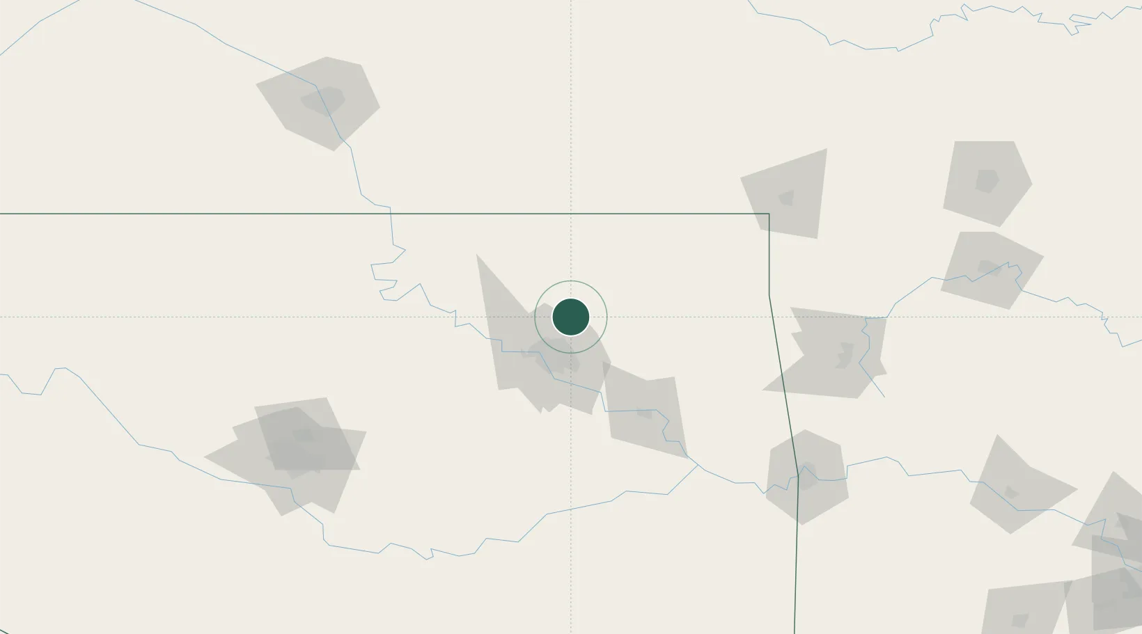
36.3667°, -95.8333°
6,492
Population
2
Transport functions
Transport Functions
Rail
Road
Hub Profile
Place type
Populated place
Region
Oklahoma
Population
6,492
Time zone
America/Chicago
Elevation
195 m
Location
Nearby Logistics Neighbours
Ports
- 1Port Of Memphis532 km
- 2Beaumont717 km
- 3Lake Charles725 km
- 4Orange725 km
- 5Port Neches729 km
Airports
Trade Zones
- 1FTZ No. 053 Rogers County4 km
- 2FTZ No. 164 Muskogee79 km
- 3FTZ No. 106 Oklahoma City182 km
- 4FTZ No. 161 Sedgwick County226 km
- 5FTZ No. 225 Springfield256 km
DatabookThe Record of Consolidated Knowledge
United States beyond logistics?