UN/LOCODE hub · United States
USLRE
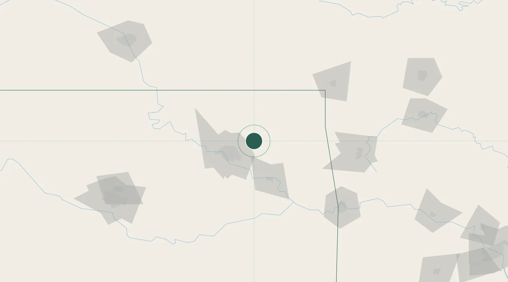
Claremore
36.3000°, -95.6000°
18,997
Population
3
Transport functions
Transport Functions
Rail
Road
Multimodal
Hub Profile
Place type
Provincial seat
Region
Oklahoma
Population
18,997
Time zone
America/Chicago
Elevation
182 m
Location
Nearby Logistics Neighbours
Cities
- 1Oologah19 km
- 2Collinsville22 km
- 3Owasso23 km
- 4Chelsea29 km
- 5Wagoner44 km
Ports
- 1Port Of Memphis509 km
- 2Beaumont706 km
- 3Lake Charles711 km
- 4Orange713 km
- 5Port Neches717 km
Airports
- 1Tulsa International Airport28 km
- 2Tulsa Riverside Airport45 km
- 3Northwest Arkansas National Airport116 km
- 4Drake Field133 km
- 5Stillwater Regional Airport134 km
Trade Zones
- 1FTZ No. 053 Rogers County23 km
- 2FTZ No. 164 Muskogee65 km
- 3FTZ No. 106 Oklahoma City196 km
- 4FTZ No. 225 Springfield240 km
- 5FTZ No. 161 Sedgwick County247 km
DatabookThe Record of Consolidated Knowledge
United States beyond logistics?