Medium airport · United States
Dyess Air Force BaseKDYS
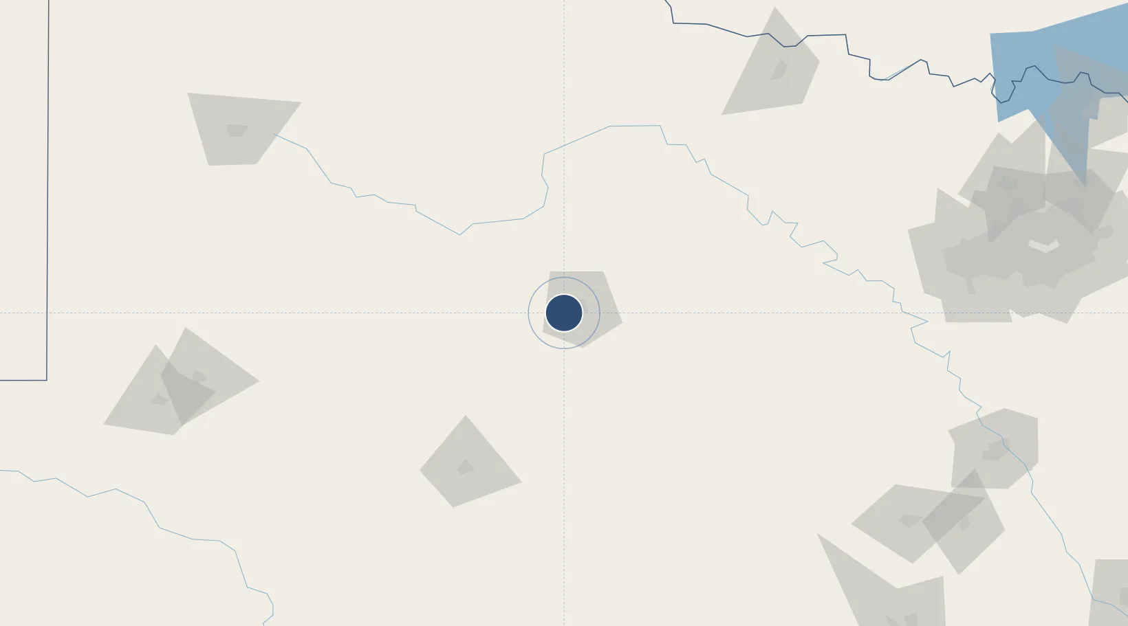
32.4208°, -99.8546°
13,500 ft
Longest runway
3
Runways
1,789 ft
Elevation
Runway & Layout

Radio Frequencies
ATIS
38.57 MHz
TWR
133 MHz
GND
118.35 MHz
A/D
125 MHz
ABILENE APP/DEP
PMSV
38.325 MHz
PMSV METRO
POST
31.1 MHz
ACC COMMAND POST
POST
34.94 MHz
AMCC
PTD
139.3 MHz
Navaids
ABI VORTAC Abilene 113.70 MHz
DYS TACAN Dyess 133.60 MHz
TQA VOR-DME Tuscola 111.60 MHz
Runways · 3
| Runway | Dimensions | Surface | True heading | Lit |
|---|---|---|---|---|
| 16/34 | 13,500 × 300ft | Asphalt / concrete | 169° | ✓ |
| 161/341 | 3,500 × 60ft | Graded earth | 161° | — |
| 162/342 | 3,500 × 60ft | ASPH | — | — |
Airport Specifications
IATA code
DYS
ICAO code
KDYS
Airport class
Medium airport
Scheduled service
No
Runway surface
Asphalt / concrete
Served city
Abilene
Location
Nearby Logistics Neighbours
Airports
- 1Abilene Regional Airport16 km
- 2San Angelo Regional Mathis Field133 km
- 3Curtis Field147 km
- 4Mineral Wells Regional Airport173 km
- 5Kimble County Airport213 km
Ports
- 1Deer Park523 km
- 2Port Lavaca525 km
- 3Houston527 km
- 4Pasadena534 km
- 5Palacios542 km
Trade Zones
- 1FTZ No. 039 Dallas Fort Worth170 km
- 2FTZ No. 196 Fort Worth218 km
- 3FTZ No. 168 Dallas Fort Worth221 km
- 4FTZ No. 165 Midland224 km
- 5FTZ No. 166 Homestead224 km
DatabookThe Record of Consolidated Knowledge
United States beyond logistics?