Transport Functions
Road
Multimodal
Hub Profile
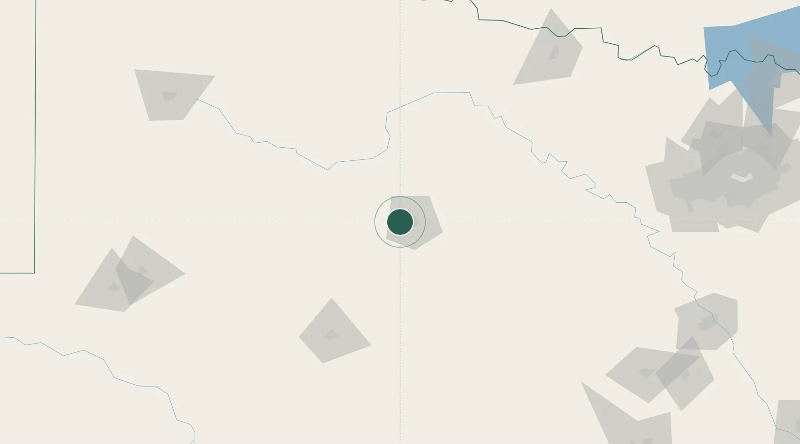
Place type
Populated place
Region
Texas
Population
1,260
Time zone
America/Chicago
Elevation
547 m
Location
Nearby Logistics Neighbours
Ports
- 1Deer Park526 km
- 2Port Lavaca528 km
- 3Houston530 km
- 4Pasadena537 km
- 5Palacios545 km
Airports
- 1Dyess Air Force Base3 km
- 2Abilene Regional Airport18 km
- 3San Angelo Regional Mathis Field135 km
- 4Curtis Field150 km
- 5Mineral Wells Regional Airport173 km
Trade Zones
- 1FTZ No. 039 Dallas Fort Worth170 km
- 2FTZ No. 196 Fort Worth219 km
- 3FTZ No. 168 Dallas Fort Worth222 km
- 4FTZ No. 165 Midland224 km
- 5FTZ No. 166 Homestead224 km
DatabookThe Record of Consolidated Knowledge
United States beyond logistics?