Medium airport · United States

Abilene Regional AirportKABI
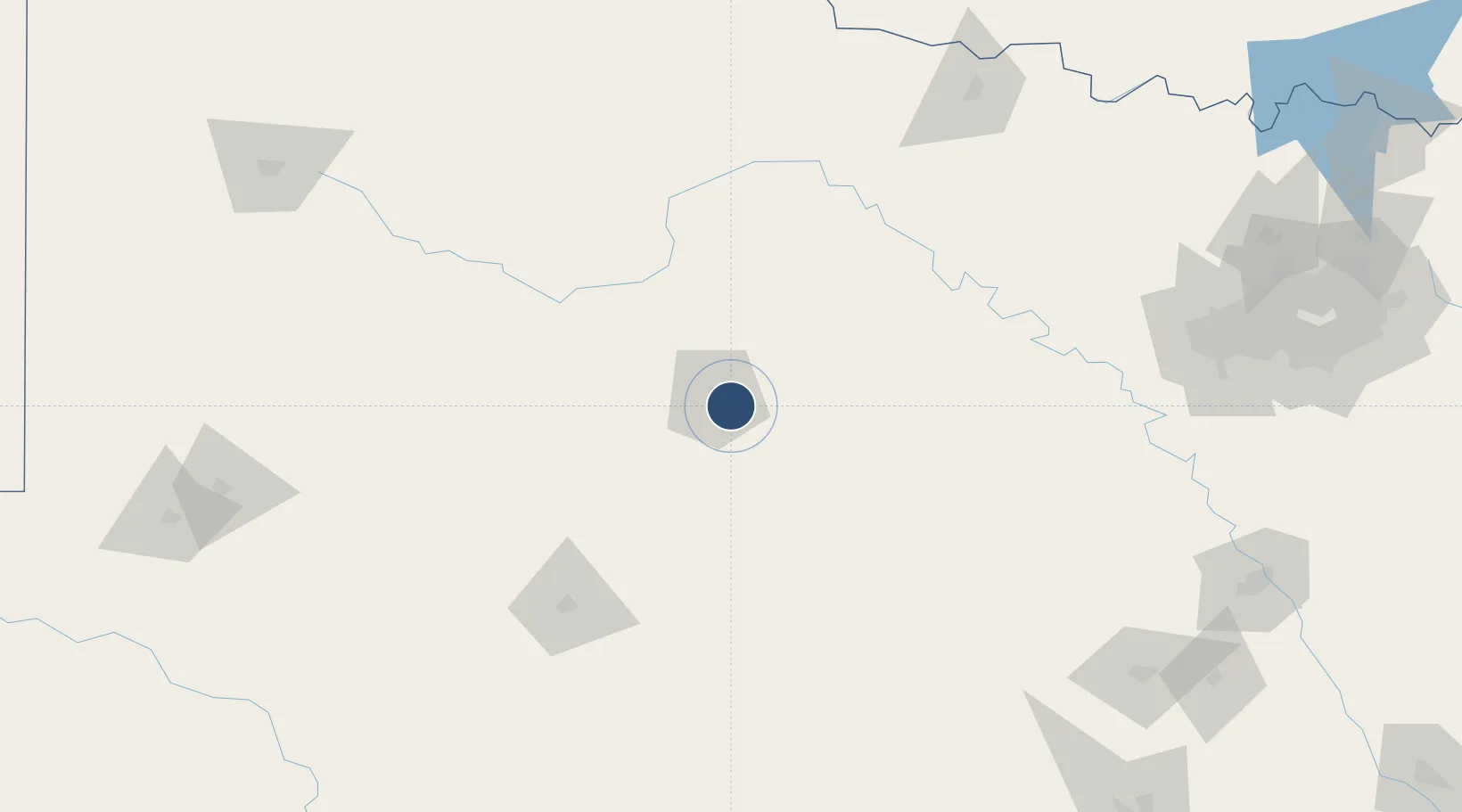
32.4113°, -99.6819°
7,208 ft
Longest runway
3
Runways
1,791 ft
Elevation

Runway & Layout

Abilene Regional Airport runway & taxiway layout
Runway & taxiway layout — OpenStreetMap (ODbL) / OurAirports

Radio Frequencies

ATIS
118.25 MHz
TWR
120.1 MHz
GND
121.7 MHz
A/D
125 MHz
APP/DEP
RDO
122.65 MHz
FORT WORTH RDO
UNIC
122.95 MHz
UNICOM
OurAirports

Navaids

AB NDB Tomhi 353 kHz
OurAirports

Runways · 3

RunwayDimensions SurfaceTrue headingLit
17R/35L 7,208 × 150ft Asphalt 180°
17L/35R 7,198 × 150ft Asphalt 180°
04/22 3,678 × 100ft Asphalt 052°
OurAirports

Airport Specifications

IATA code
ABI
OurAirports
ICAO code
KABI
OurAirports
Airport class
Medium airport
OurAirports
Scheduled service
Yes
OurAirports
Runway surface
Asphalt
OurAirports
Served city
Abilene
OurAirports

Location

Location of KABI
Natural Earth 10m (public domain) · Texas · KABI · 32.41, -99.68GoogleOSMYandex

Nearby Logistics Neighbours

Airports
  1. 1Dyess Air Force Base16 km
  2. 2San Angelo Regional Mathis Field140 km
  3. 3Curtis Field141 km
  4. 4Mineral Wells Regional Airport157 km
  5. 5Wichita Falls Municipal Airport / Sheppard Air Force Base207 km
Nearest neighbours — logibook spatial index (haversine) over the source coordinates
Cities
  1. 1Tye18 km
  2. 2Wingate57 km
  3. 3DeLeon113 km
  4. 4De Leon113 km
  5. 5Dublin132 km
Nearest neighbours — logibook spatial index (haversine) over the source coordinates
Ports
  1. 1Deer Park509 km
  2. 2Houston513 km
  3. 3Port Lavaca514 km
  4. 4Pasadena520 km
  5. 5Palacios531 km
Nearest neighbours — logibook spatial index (haversine) over the source coordinates
Trade Zones
  1. 1FTZ No. 039 Dallas Fort Worth154 km
  2. 2FTZ No. 196 Fort Worth203 km
  3. 3FTZ No. 168 Dallas Fort Worth206 km
  4. 4FTZ No. 165 Midland240 km
  5. 5FTZ No. 166 Homestead240 km
Nearest neighbours — logibook spatial index (haversine) over the source coordinates
DatabookThe Record of Consolidated Knowledge
United States beyond logistics?
Browse databook

All Sources

AirportsOurAirports
Public domain
Portsthe NGA World Port Index
Public domain (US gov)
LocationsUN/LOCODE
UN/LOCODE — free
Trade Zonesthe World Bank SEZ database
CC BY 4.0
Trade ZonesOpen Zone Map
CC BY
InfrastructureOpenStreetMap
ODbL 1.0
← United States airports