UN/LOCODE hub · United States
USZTK
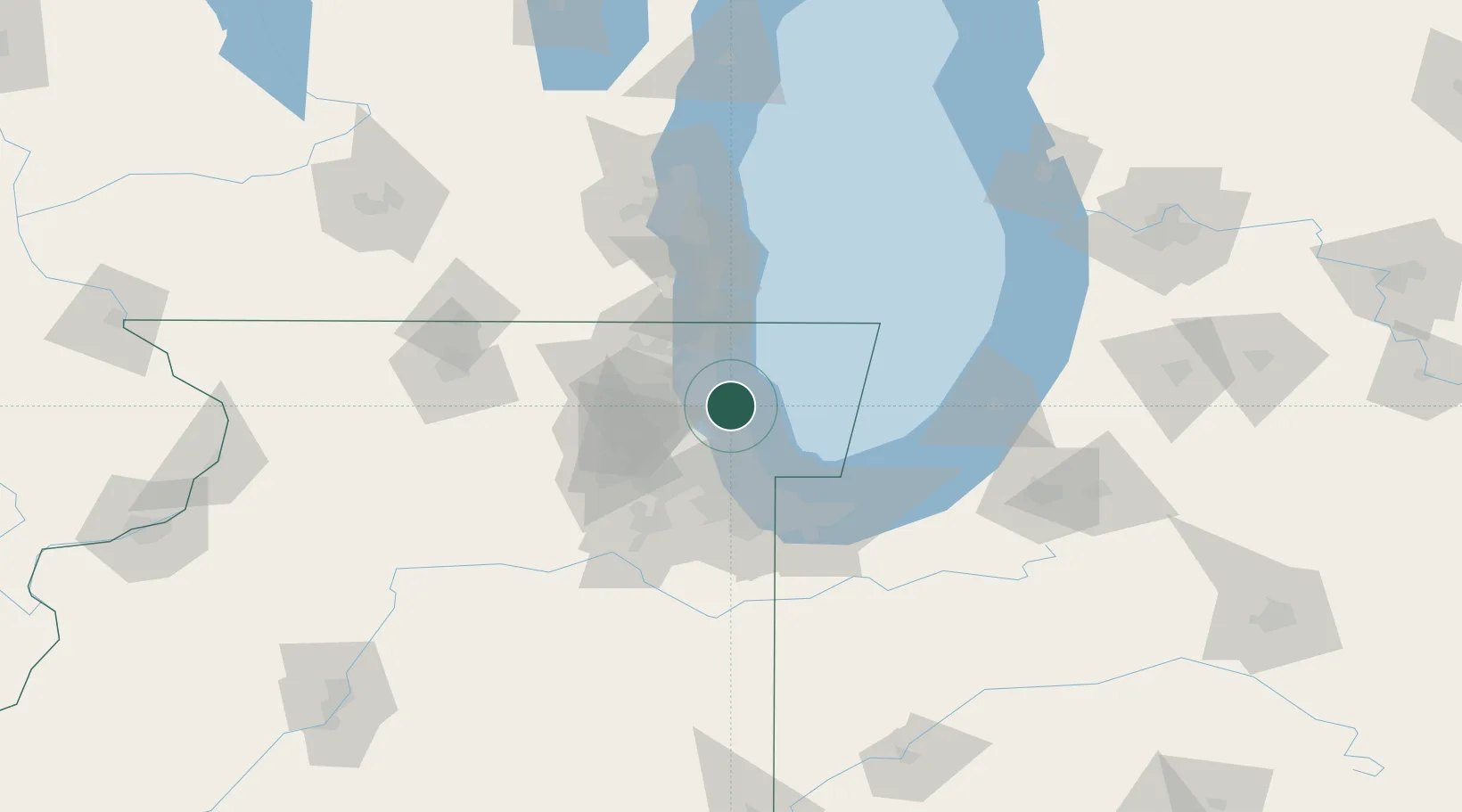
Winnetka
42.1000°, -87.7333°
12,472
Population
4
Transport functions
Transport Functions
Port
Rail
Road
Multimodal
Hub Profile
Place type
Populated place
Region
Illinois
Population
12,472
Time zone
America/Chicago
Elevation
199 m
Location
Nearby Logistics Neighbours
Cities
- 1Glencoe4 km
- 2Wilmette4 km
- 3Park Ridge13 km
- 4Harwood Heights16 km
- 5Norridge18 km
Ports
- 1Wilmette5 km
- 2Great Lakes24 km
- 3Chicago27 km
- 4Waukegan30 km
- 5Calumet Harbor45 km
Airports
Trade Zones
- 1FTZ No. 292 Lake County28 km
- 2FTZ No. 022 Chicago32 km
- 3FTZ No. 152 Burns Harbor71 km
- 4FTZ No. 041 Milwaukee111 km
- 5FTZ No. 176 Rockford123 km
DatabookThe Record of Consolidated Knowledge
United States beyond logistics?