Transport Functions
Rail
Road
Multimodal
Hub Profile
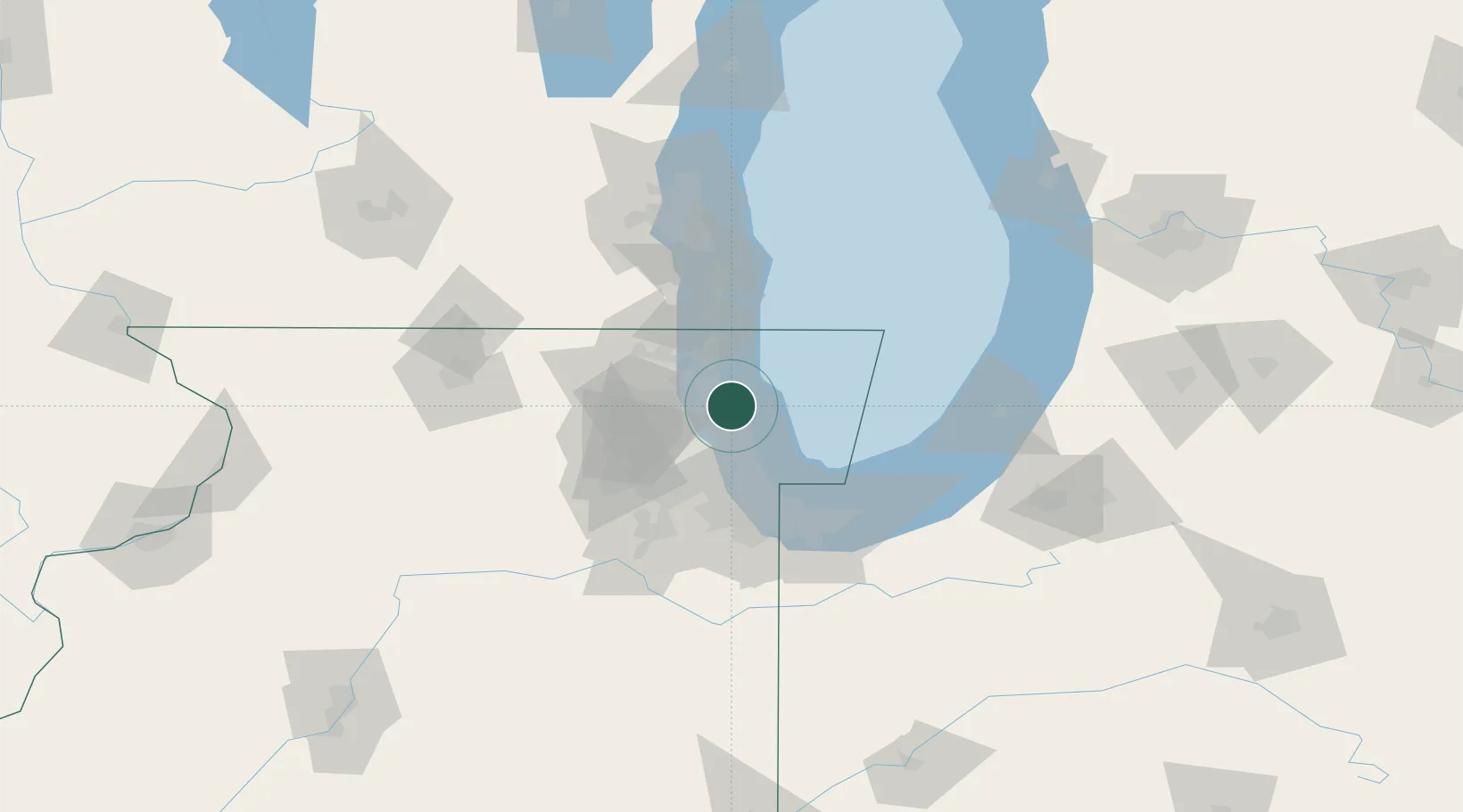
Place type
Populated place
Region
Illinois
Population
8,945
Time zone
America/Chicago
Elevation
205 m
Location
Nearby Logistics Neighbours
Cities
- 1Winnetka4 km
- 2Wilmette8 km
- 3Park Ridge15 km
- 4Mettawa17 km
- 5Harwood Heights19 km
Ports
- 1Wilmette8 km
- 2Great Lakes20 km
- 3Waukegan27 km
- 4Chicago30 km
- 5Calumet Harbor49 km
Airports
Trade Zones
- 1FTZ No. 292 Lake County24 km
- 2FTZ No. 022 Chicago35 km
- 3FTZ No. 152 Burns Harbor75 km
- 4FTZ No. 041 Milwaukee107 km
- 5FTZ No. 176 Rockford121 km
DatabookThe Record of Consolidated Knowledge
United States beyond logistics?