Transport Functions
Rail
Road
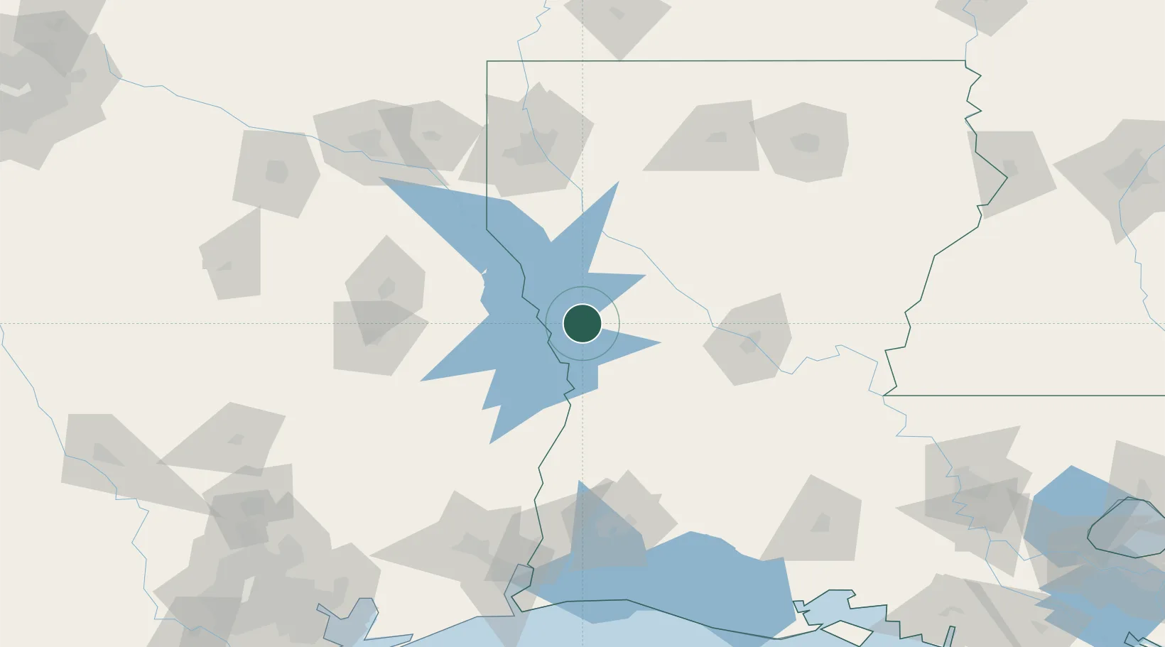
Hub Profile
Place type
Populated place
Region
Louisiana
Population
629
Time zone
America/Chicago
Elevation
83 m
Location
Nearby Logistics Neighbours
Cities
- 1Many15 km
- 2Alliance20 km
- 3Zwolle28 km
- 4Converse42 km
- 5San Augustine61 km
Ports
- 1Lake Charles137 km
- 2Orange152 km
- 3Beaumont161 km
- 4Port Neches166 km
- 5Port Arthur184 km
Airports
Trade Zones
- 1FTZ No. 145 Shreveport123 km
- 2FTZ No. 146 Lawrence County123 km
- 3FTZ No. 297 Lufkin127 km
- 4FTZ No. 087 Lake Charles138 km
- 5FTZ No. 117 Orange150 km
DatabookThe Record of Consolidated Knowledge
United States beyond logistics?