Transport Functions
Rail
Road
Hub Profile
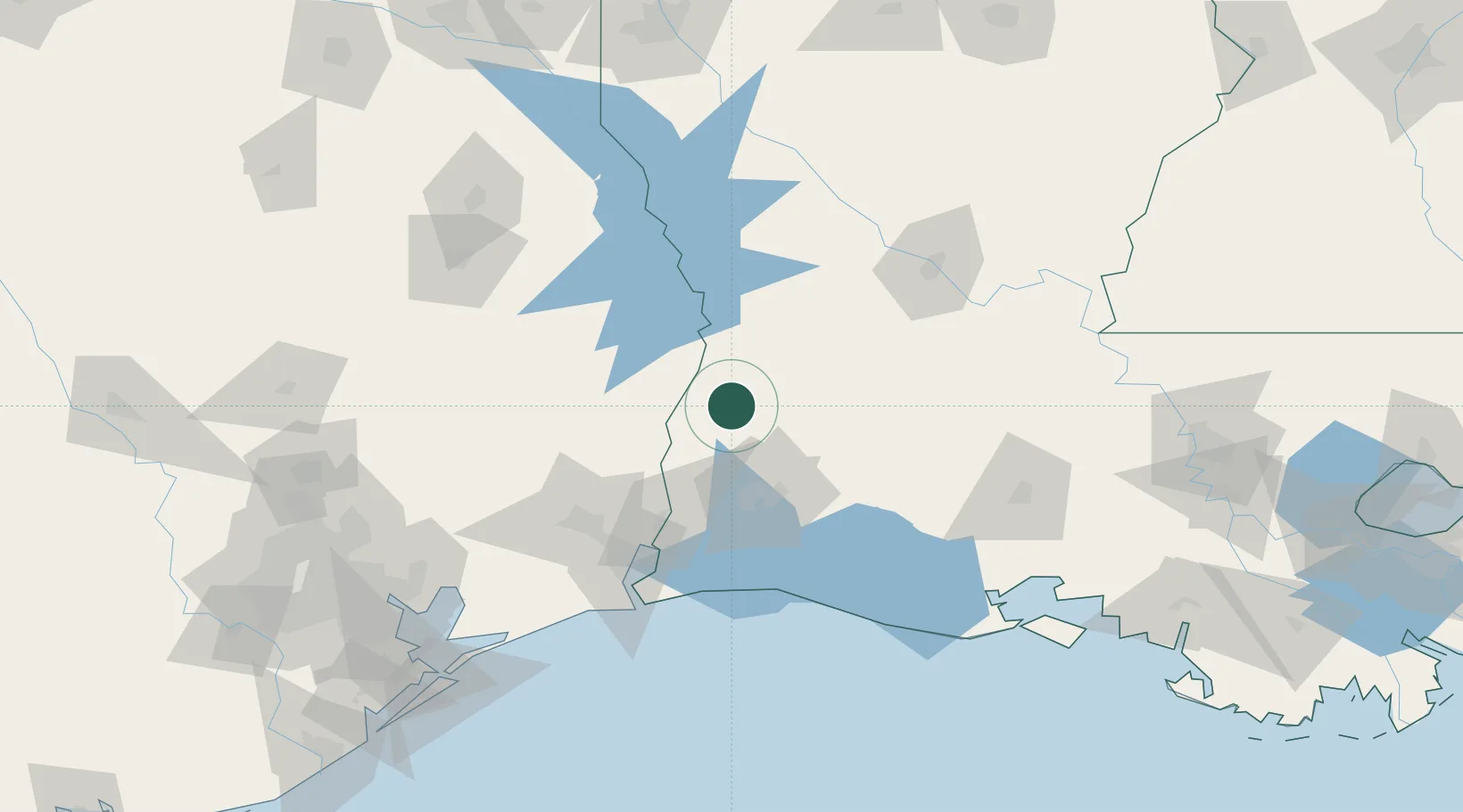
Place type
Populated place
Region
Louisiana
Population
287
Time zone
America/Chicago
Elevation
45 m
Location
Nearby Logistics Neighbours
Cities
- 1DeQuincy22 km
- 2Lake Charles51 km
- 3Vinton54 km
- 4Kinder57 km
- 5West Orange71 km
Ports
- 1Lake Charles51 km
- 2Orange70 km
- 3Port Neches89 km
- 4Beaumont90 km
- 5Port Arthur105 km
Airports
Trade Zones
- 1FTZ No. 087 Lake Charles51 km
- 2FTZ No. 117 Orange73 km
- 3FTZ No. 291 Cameron Parish97 km
- 4FTZ No. 115 Beaumont98 km
- 5FTZ No. 116 Port Arthur113 km
DatabookThe Record of Consolidated Knowledge
United States beyond logistics?