Transport Functions
Rail
Road
Hub Profile
Place type
Provincial seat
Region
Louisiana
Population
2,790
Time zone
America/Chicago
Elevation
84 m
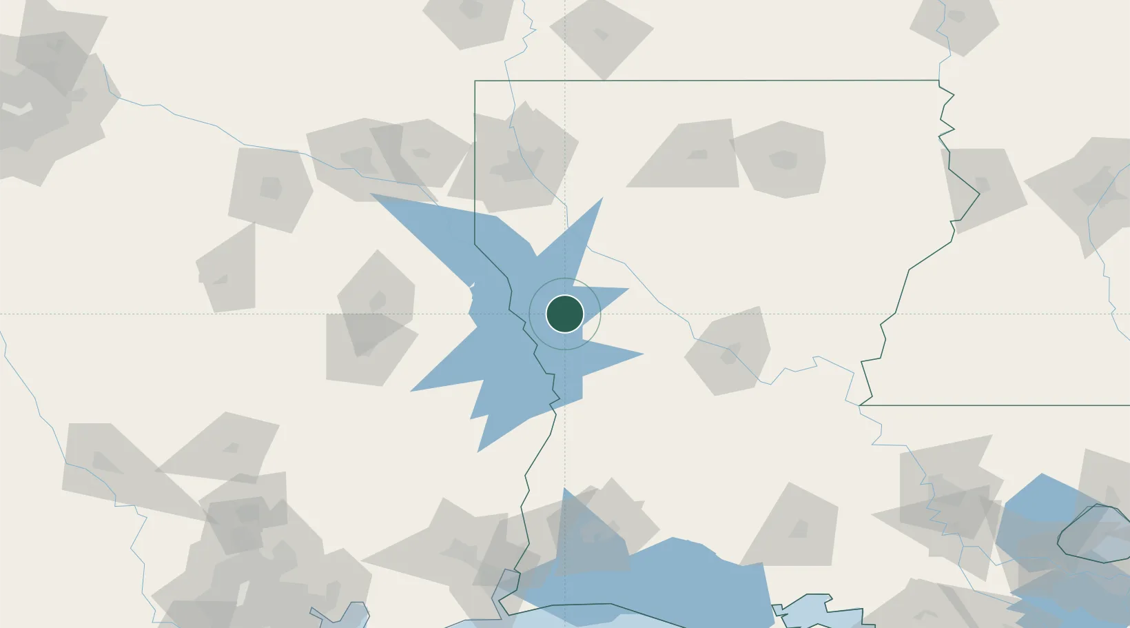
Location
Nearby Logistics Neighbours
Ports
- 1Lake Charles152 km
- 2Orange167 km
- 3Beaumont175 km
- 4Port Neches180 km
- 5Port Arthur198 km
Airports
Trade Zones
- 1FTZ No. 145 Shreveport109 km
- 2FTZ No. 146 Lawrence County109 km
- 3FTZ No. 297 Lufkin128 km
- 4FTZ No. 087 Lake Charles153 km
- 5FTZ No. 117 Orange164 km
DatabookThe Record of Consolidated Knowledge
United States beyond logistics?