UN/LOCODE hub · South Korea
KRCWN

Cheorwon-gun

38.2500°, 127.2167°
2
Transport functions

Transport Functions

Rail
Road
UN/LOCODE

Hub Profile

Region
42
GeoNames

Location

Location of KRCWN
Natural Earth 10m (public domain) · 42 · KRCWN · 38.25, 127.22GoogleOSMYandex

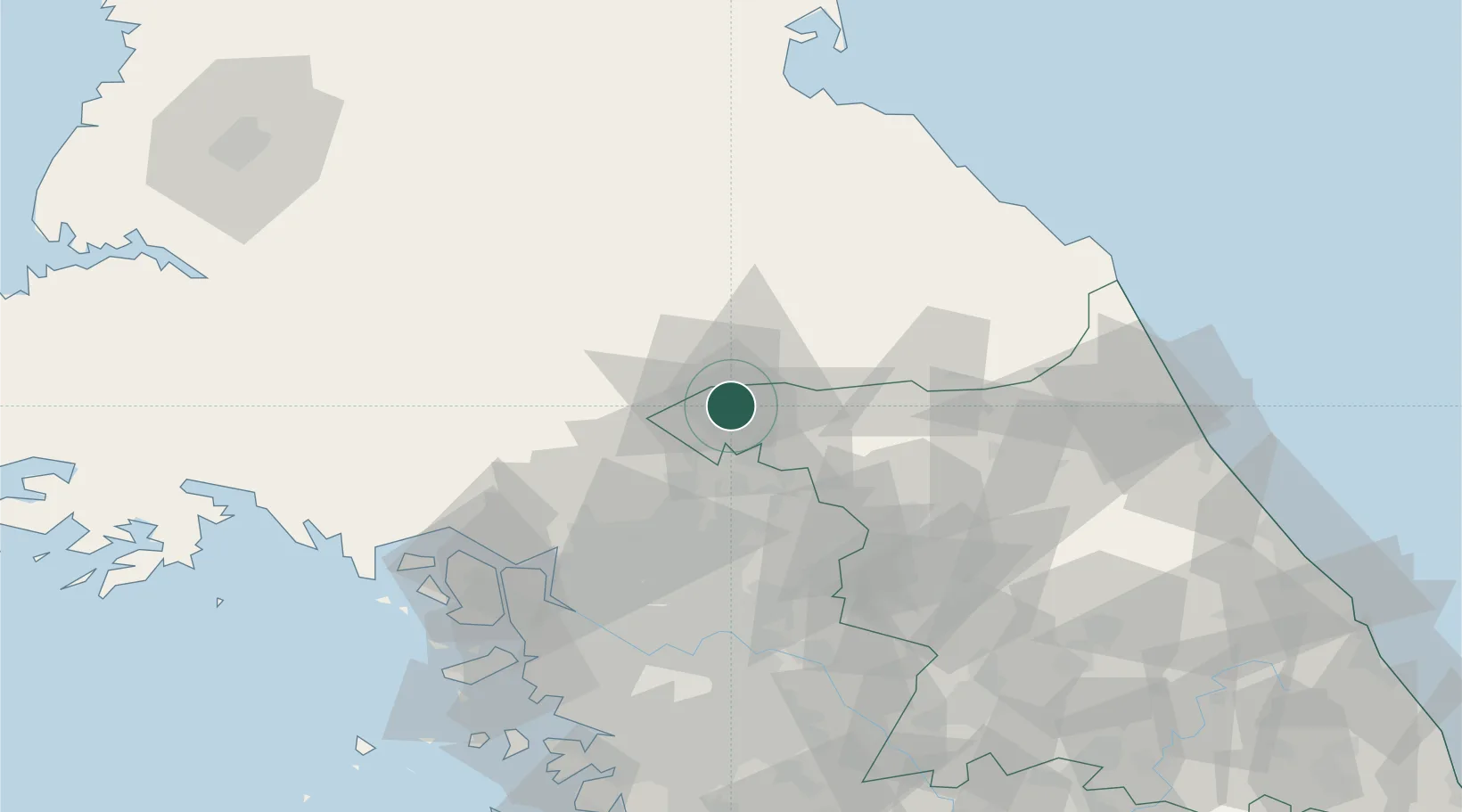
Nearby Logistics Neighbours

Cities
  1. 1Hwacheon-gun45 km
  2. 2Dongducheon49 km
  3. 3Gapyeong-gun54 km
  4. 4Yangju56 km
  5. 5Panmoonjeom56 km
Nearest neighbours — logibook spatial index (haversine) over the source coordinates
Ports
  1. 1Inchon102 km
  2. 2Wonsan104 km
  3. 3Sokch'o Hang121 km
  4. 4Haeju Hang136 km
  5. 5Pyeongtaek Hang144 km
Nearest neighbours — logibook spatial index (haversine) over the source coordinates
Airports
  1. 1Koksan 2 Highway Strip72 km
  2. 2Koksan Air Base72 km
  3. 3Gimpo International Airport86 km
  4. 4Seoul Air Base (K-16)90 km
  5. 5Wonsan Kalma International Airport105 km
Nearest neighbours — logibook spatial index (haversine) over the source coordinates
Trade Zones
  1. 1Baekhak Industrial Complex in Yeoncheon37 km
  2. 2Dongducheon 2 Industrial Complex38 km
  3. 3Geomjun General Industrial Complex47 km
  4. 4Nam-myeon Industrial Complex In Yangju52 km
  5. 5Hongjuk Industrial Complex in Yangju55 km
Nearest neighbours — logibook spatial index (haversine) over the source coordinates
DatabookThe Record of Consolidated Knowledge
South Korea beyond logistics?
Browse databook

All Sources

LocationsUN/LOCODE
UN/LOCODE — free
Portsthe NGA World Port Index
Public domain (US gov)
AirportsOurAirports
Public domain
Trade Zonesthe World Bank SEZ database
CC BY 4.0
Trade ZonesOpen Zone Map
CC BY
← South Korea locations