UN/LOCODE hub · United States
USHWD
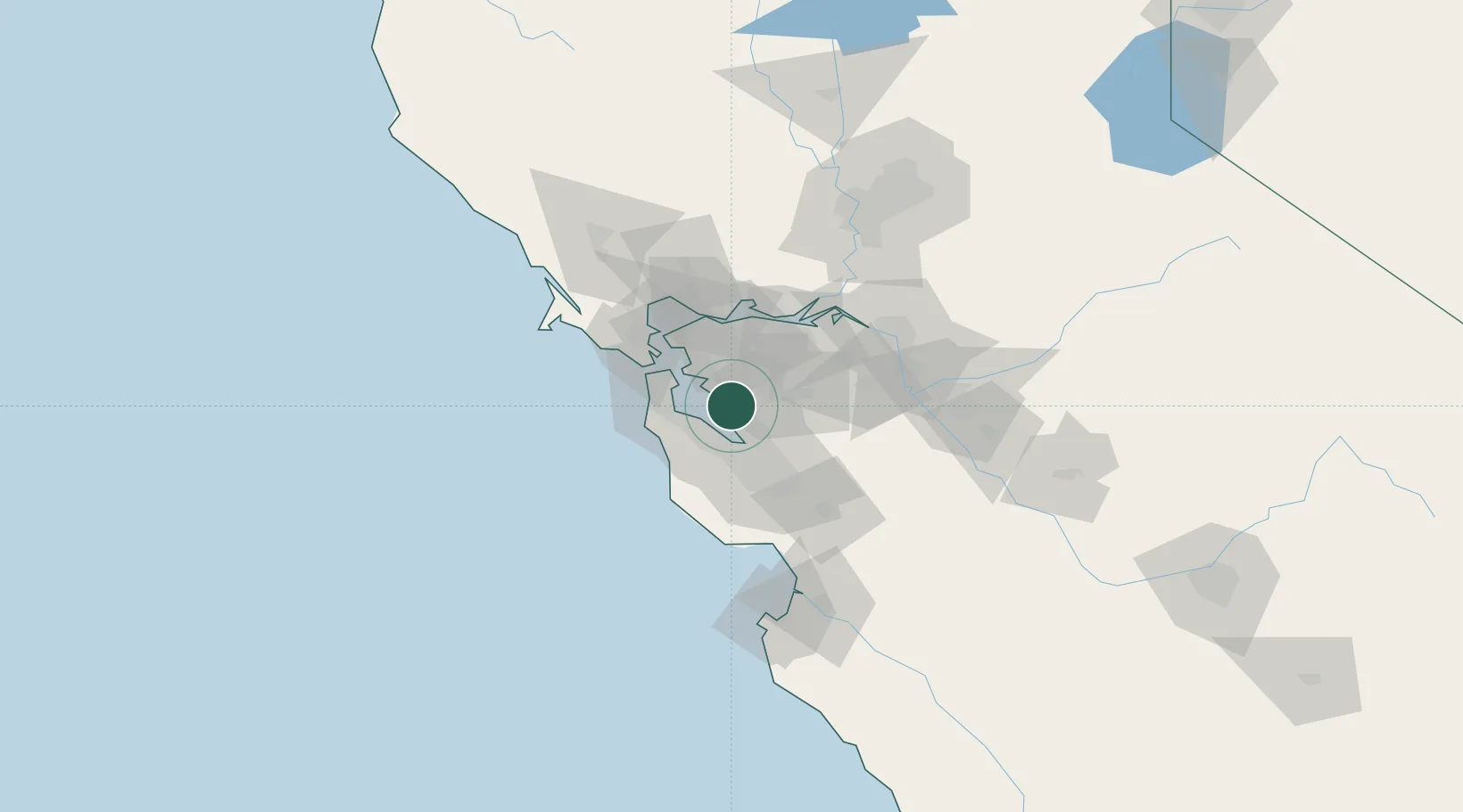
Hayward
37.6287°, -122.1032°
158,289
Population
3
Transport functions
Transport Functions
Rail
Road
Airport
Hub Profile
Place type
Populated place
Region
California
Population
158,289
Time zone
America/Los_Angeles
Elevation
34 m
Logistics facilities
4
Location
Nearby Logistics Neighbours
Cities
- 1San Lorenzo6 km
- 2Pleasanton20 km
- 3Sunol20 km
- 4Alameda22 km
- 5Oakland23 km
Ports
- 1Redwood City14 km
- 2Alameda22 km
- 3Oakland29 km
- 4Berkeley32 km
- 5San Francisco35 km
Airports
Trade Zones
- 1FTZ No. 056 Oakland25 km
- 2FTZ No. 003 San Francisco32 km
- 3FTZ No. 018 San Jose38 km
- 4FTZ No. 231 Stockton77 km
- 5FTZ No. 143 West Sacramento118 km
DatabookThe Record of Consolidated Knowledge
United States beyond logistics?