Transport Functions
Multimodal
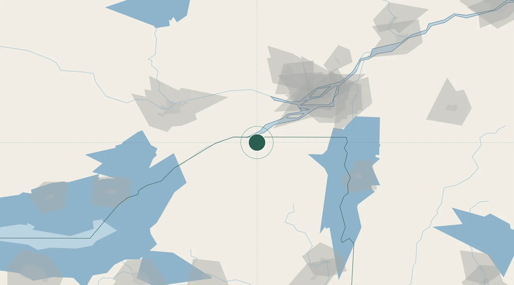
Hub Profile
Place type
Populated place
Region
New York
Time zone
America/New_York
Elevation
59 m
Location
Nearby Logistics Neighbours
Cities
- 1Malone25 km
- 2Ingleside35 km
- 3Monkland38 km
- 4Rivière-Beaudette38 km
- 5Norwood39 km
Ports
- 1Cornwall16 km
- 2South Lancaster23 km
- 3St Anicet27 km
- 4St Zotique43 km
- 5Coteau Landing46 km
Airports
Trade Zones
- 1FTZ No. 118 Ogdensburg78 km
- 2Greater Montreal Free Zone Center101 km
- 3FTZ No. 109 Watertown149 km
- 4FTZ No. 172 Oneida County222 km
- 5FTZ No. 090 Onondaga228 km
DatabookThe Record of Consolidated Knowledge
United States beyond logistics?