Medium airport · United States
Lubbock Preston Smith International AirportKLBB
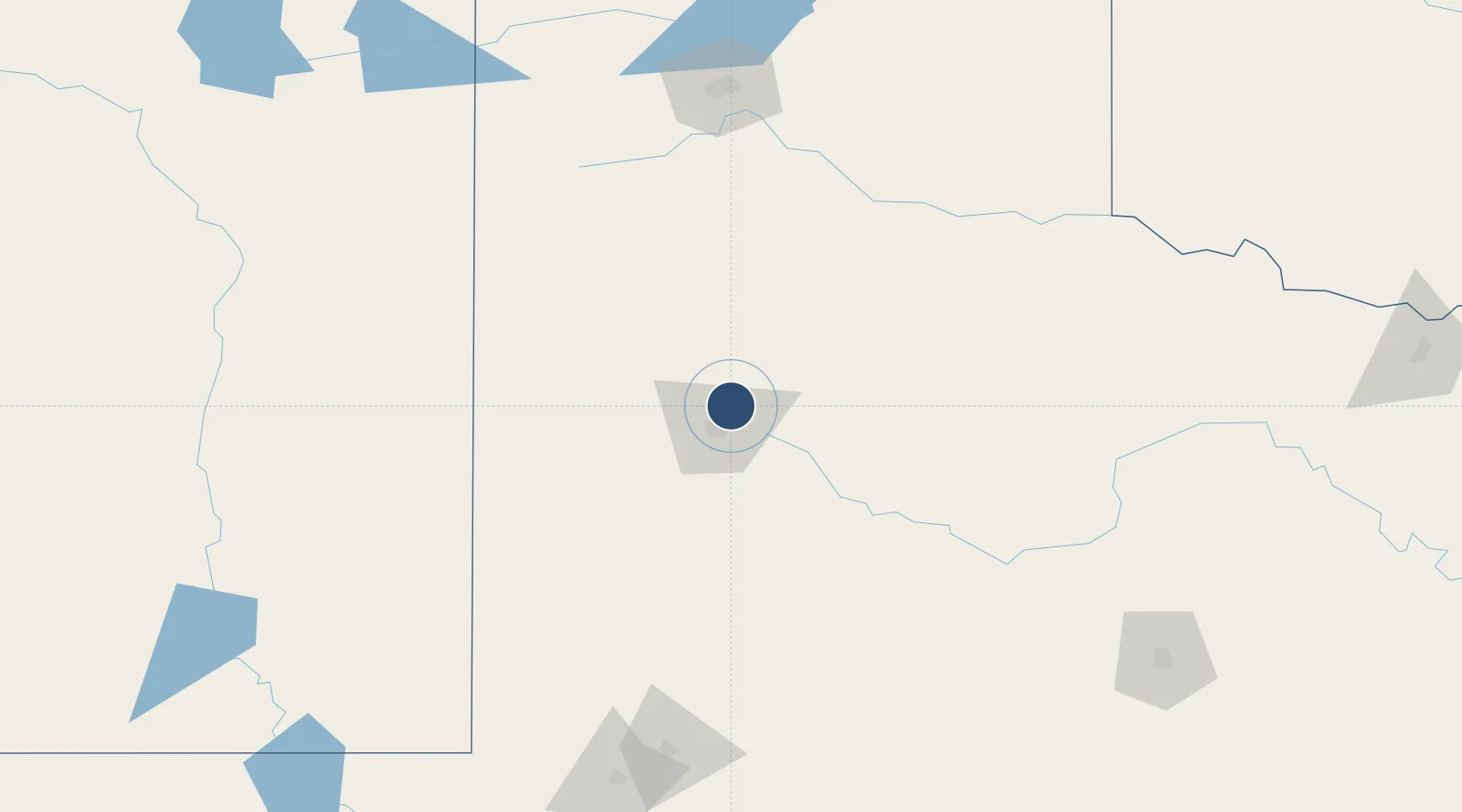
33.6636°, -101.8230°
11,500 ft
Longest runway
3
Runways
3,282 ft
Elevation
Runway & Layout

Radio Frequencies
ATIS
125.3 MHz
TWR
120.5 MHz
GND
121.9 MHz
CLD
125.8 MHz
CLNC DEL
APP
119.2 MHz
DEP
119.2 MHz
RDO
122.55 MHz
FORT WORTH RDO
UNIC
122.95 MHz
UNICOM
Navaids
LB NDB Pollo 219 kHz
LBB VORTAC Lubbock 109.20 MHz
LD NDB Lubbi 272 kHz
Runways · 3
| Runway | Dimensions | Surface | True heading | Lit |
|---|---|---|---|---|
| 17R/35L | 11,500 × 150ft | Concrete | 180° | ✓ |
| 08/26 | 8,003 × 150ft | Concrete | 090° | ✓ |
| 17L/35R | 2,891 × 74ft | Asphalt | 180° | — |
Airport Specifications
IATA code
LBB
ICAO code
KLBB
Airport class
Medium airport
Scheduled service
Yes
Runway surface
Concrete
Served city
Lubbock
Location
Nearby Logistics Neighbours
Airports
Cities
- 1Wolfforth25 km
- 2Petersburg31 km
- 3Wilson40 km
- 4Olton65 km
- 5Springlake76 km
Ports
- 1Port Lavaca748 km
- 2Deer Park752 km
- 3Houston756 km
- 4Pasadena764 km
- 5Palacios769 km
Trade Zones
- 1FTZ No. 260 Lubbock21 km
- 2FTZ No. 261 Alexandria21 km
- 3FTZ No. 252 Amarillo171 km
- 4FTZ No. 165 Midland185 km
- 5FTZ No. 166 Homestead185 km
DatabookThe Record of Consolidated Knowledge
United States beyond logistics?