UN/LOCODE hub · United States
USYTL

Talent

42.2333°, -122.7833°
6,411
Population
3
Transport functions

Transport Functions

Port
Rail
Road
UN/LOCODE

Hub Profile

Place type
Populated place
GeoNames
Region
Oregon
GeoNames
Population
6,411
GeoNames
Time zone
America/Los_Angeles
GeoNames
Elevation
496 m
GeoNames

Location

Location of USYTL
Natural Earth 10m (public domain) · Oregon · USYTL · 42.23, -122.78GoogleOSMYandex

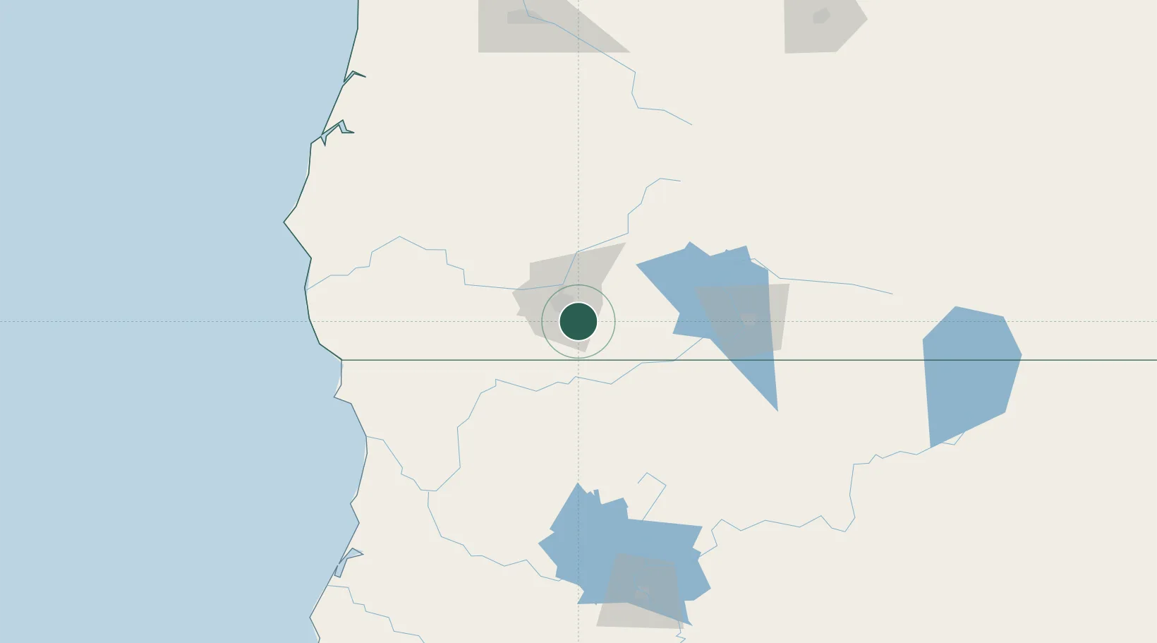
Nearby Logistics Neighbours

Cities
  1. 1Phoenix6 km
  2. 2Jacksonville16 km
  3. 3Central Point20 km
  4. 4Gold Hill31 km
  5. 5Rogue River39 km
Nearest neighbours — logibook spatial index (haversine) over the source coordinates
Ports
  1. 1Crescent City129 km
  2. 2Port Orford151 km
  3. 3Prosper165 km
  4. 4Bandon166 km
  5. 5Coos Bay172 km
Nearest neighbours — logibook spatial index (haversine) over the source coordinates
Airports
  1. 1Rogue Valley International-Medford Airport17 km
  2. 2Crater Lake-Klamath Regional Airport87 km
  3. 3Jack Mc Namara Field Airport130 km
  4. 4Southwest Oregon Regional Airport178 km
  5. 5California Redwood Coast-Humboldt County Airport178 km
Nearest neighbours — logibook spatial index (haversine) over the source coordinates
Trade Zones
  1. 1FTZ No. 132 Coos County172 km
  2. 2FTZ No. 248 Eureka196 km
  3. 3FTZ No. 045 Portland368 km
  4. 4FTZ No. 255 Washington County372 km
  5. 5FTZ No. 296 Vancouver379 km
Nearest neighbours — logibook spatial index (haversine) over the source coordinates
DatabookThe Record of Consolidated Knowledge
United States beyond logistics?
Browse databook

All Sources

LocationsUN/LOCODE
UN/LOCODE — free
LocationsGeoNames
CC BY 4.0
Portsthe NGA World Port Index
Public domain (US gov)
AirportsOurAirports
Public domain
Trade Zonesthe World Bank SEZ database
CC BY 4.0
Trade ZonesOpen Zone Map
CC BY
← United States locations