Transport Functions
Port
Rail
Road
Multimodal
Hub Profile
Place type
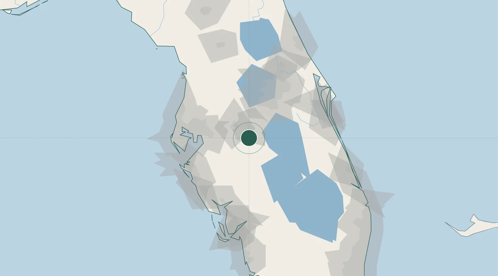
Populated place
Region
Florida
Time zone
America/New_York
Elevation
39 m
Location
Nearby Logistics Neighbours
Cities
- 1Deland12 km
- 2Highland City14 km
- 3Fort Meade16 km
- 4Dundee20 km
- 5Wauchula39 km
Ports
- 1Tampa69 km
- 2Port Manatee85 km
- 3Sankt-Peterburg86 km
- 4Tarpon Springs104 km
- 5Canaveral Harbor143 km
Airports
Trade Zones
- 1FTZ No. 215 Sebring51 km
- 2FTZ No. 136 Brevard County68 km
- 3FTZ No. 079 Tampa69 km
- 4FTZ No. 042 Orlando71 km
- 5FTZ No. 250 Seminole County103 km
DatabookThe Record of Consolidated Knowledge
United States beyond logistics?