UN/LOCODE hub · United States
USHIC
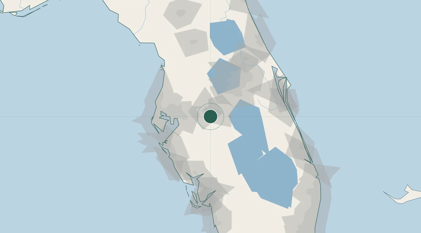
Highland City
27.9500°, -81.8667°
10,834
Population
2
Transport functions
Transport Functions
Road
Multimodal
Hub Profile
Place type
Populated place
Region
Florida
Population
10,834
Time zone
America/New_York
Elevation
36 m
Location
Nearby Logistics Neighbours
Cities
- 1Lake Garfield14 km
- 2Deland15 km
- 3Fort Meade23 km
- 4Dundee26 km
- 5Valrico38 km
Ports
- 1Tampa57 km
- 2Sankt-Peterburg77 km
- 3Port Manatee77 km
- 4Tarpon Springs91 km
- 5Boca Grande146 km
Airports
Trade Zones
- 1FTZ No. 079 Tampa57 km
- 2FTZ No. 215 Sebring63 km
- 3FTZ No. 042 Orlando69 km
- 4FTZ No. 136 Brevard County73 km
- 5FTZ No. 193 Pinellas County94 km
DatabookThe Record of Consolidated Knowledge
United States beyond logistics?