UN/LOCODE hub · United States
USDD5

Deland

27.9833°, -81.7167°
30,195
Population
1
Transport functions

Transport Functions

Multimodal
UN/LOCODE

Hub Profile

Place type
Provincial seat
GeoNames
Region
Florida
GeoNames
Population
30,195
GeoNames
Time zone
America/New_York
GeoNames
Elevation
12 m
GeoNames

Location

Location of USDD5
Natural Earth 10m (public domain) · Florida · USDD5 · 27.98, -81.72GoogleOSMYandex

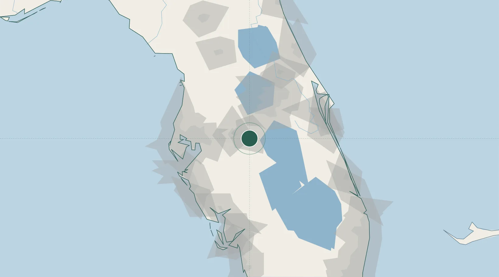
Nearby Logistics Neighbours

Cities
  1. 1Dundee11 km
  2. 2Lake Garfield12 km
  3. 3Highland City15 km
  4. 4Fort Meade27 km
  5. 5Wauchula51 km
Nearest neighbours — logibook spatial index (haversine) over the source coordinates
Ports
  1. 1Tampa72 km
  2. 2Sankt-Peterburg92 km
  3. 3Port Manatee92 km
  4. 4Tarpon Springs105 km
  5. 5Canaveral Harbor134 km
Nearest neighbours — logibook spatial index (haversine) over the source coordinates
Airports
  1. 1Lakeland Linder International Airport30 km
  2. 2Kissimmee Gateway Airport44 km
  3. 3Orlando International Airport64 km
  4. 4Orlando Executive Airport73 km
  5. 5Tampa International Airport80 km
Nearest neighbours — logibook spatial index (haversine) over the source coordinates
Trade Zones
  1. 1FTZ No. 136 Brevard County58 km
  2. 2FTZ No. 042 Orlando59 km
  3. 3FTZ No. 215 Sebring60 km
  4. 4FTZ No. 079 Tampa72 km
  5. 5FTZ No. 250 Seminole County91 km
Nearest neighbours — logibook spatial index (haversine) over the source coordinates
DatabookThe Record of Consolidated Knowledge
United States beyond logistics?
Browse databook

All Sources

LocationsUN/LOCODE
UN/LOCODE — free
LocationsGeoNames
CC BY 4.0
Portsthe NGA World Port Index
Public domain (US gov)
AirportsOurAirports
Public domain
Trade Zonesthe World Bank SEZ database
CC BY 4.0
Trade ZonesOpen Zone Map
CC BY
← United States locations