UN/LOCODE hub · United States
USZGV
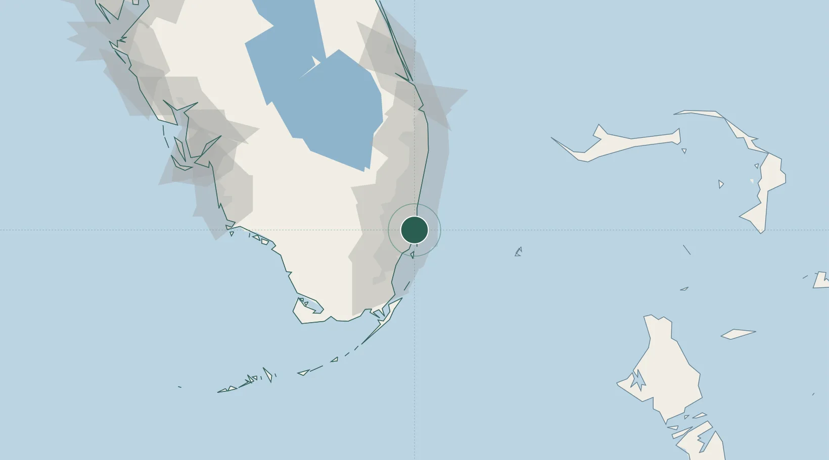
North Miami Beach
25.9167°, -80.1500°
43,971
Population
1
Transport functions
Transport Functions
Multimodal
Hub Profile
Place type
Populated place
Region
Florida
Population
43,971
Time zone
America/New_York
Elevation
3 m
Location
Nearby Logistics Neighbours
Cities
- 1Bay Harbor Islands4 km
- 2Bal Harbour5 km
- 3North Miami5 km
- 4Miami Gardens8 km
- 5Pembroke Park8 km
Ports
- 1Miami15 km
- 2Port Everglades21 km
- 3Palm Beach95 km
- 4Freeport152 km
- 5Fort Pierce173 km
Airports
Trade Zones
DatabookThe Record of Consolidated Knowledge
United States beyond logistics?