Transport Functions
Rail
Road
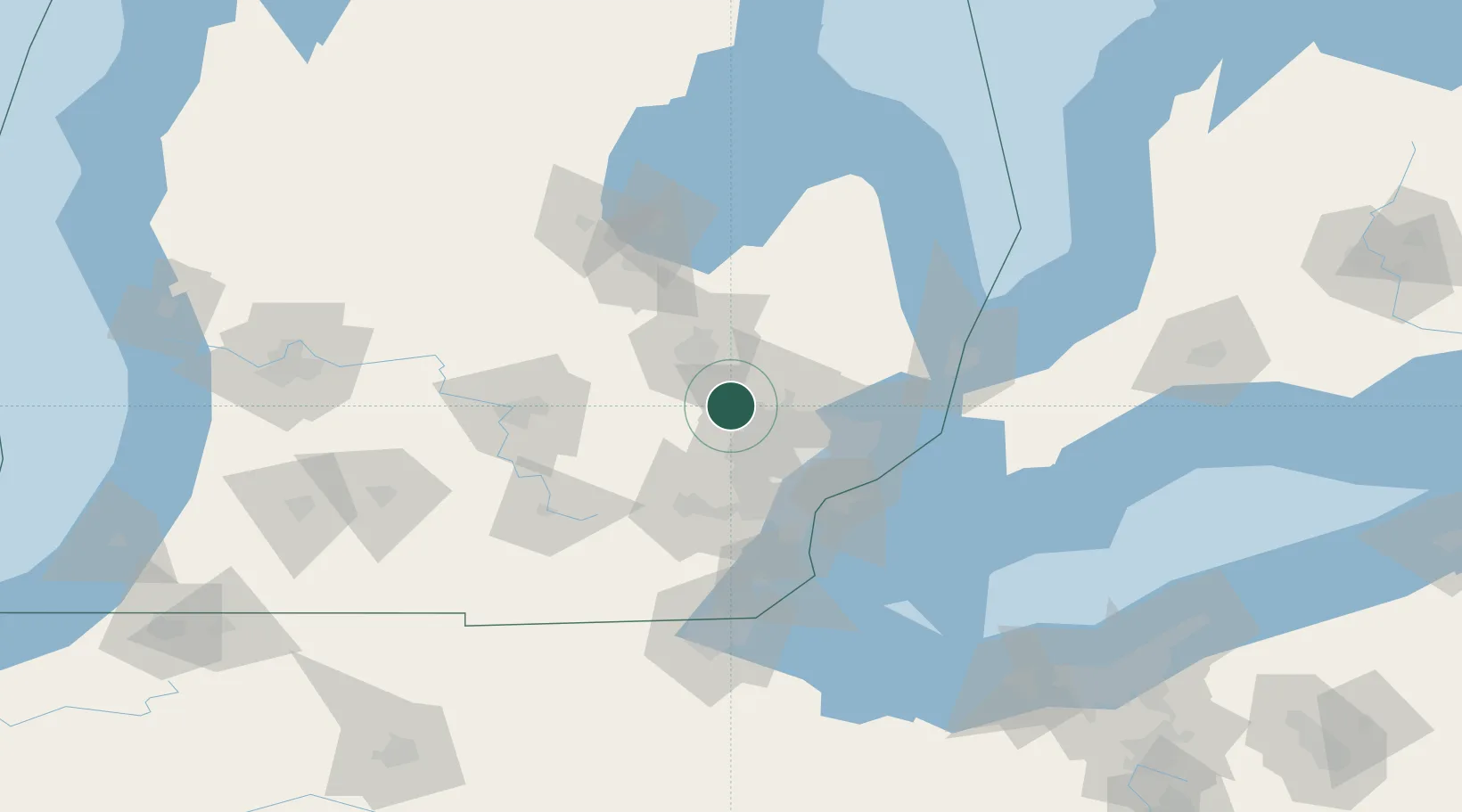
Hub Profile
Place type
Populated place
Region
Michigan
Time zone
America/Detroit
Elevation
296 m
Location
Nearby Logistics Neighbours
Cities
- 1White Lake8 km
- 2Waterford12 km
- 3Highland15 km
- 4Milford19 km
- 5Grand Blanc20 km
Ports
- 1Detroit62 km
- 2Windsor63 km
- 3Wyandotte69 km
- 4Trenton75 km
- 5Amherstburg81 km
Airports
Trade Zones
DatabookThe Record of Consolidated Knowledge
United States beyond logistics?