UN/LOCODE hub · United States
USZCT
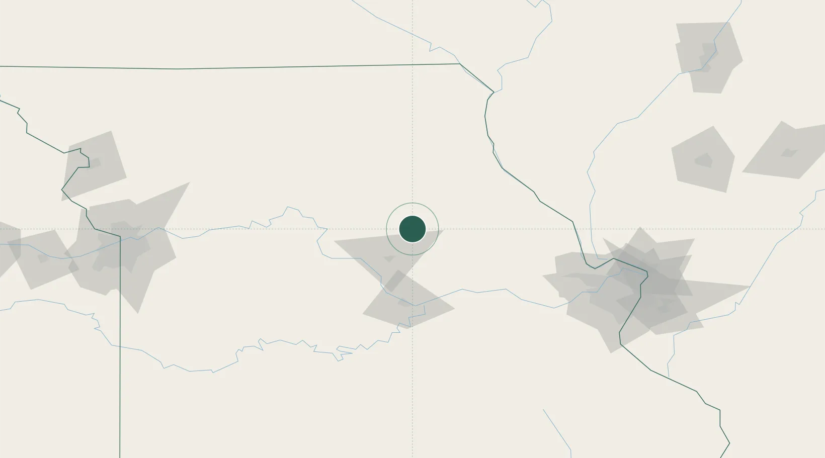
Centralia
39.2167°, -92.1333°
4,194
Population
2
Transport functions
Transport Functions
Port
Road
Hub Profile
Place type
Populated place
Region
Missouri
Population
4,194
Time zone
America/Chicago
Elevation
269 m
Location
Nearby Logistics Neighbours
Cities
- 1Kingdom City34 km
- 2Lexington38 km
- 3New Bloomfield56 km
- 4New Franklin58 km
- 5Salisbury62 km
Ports
- 1Calumet Harbor480 km
- 2Indiana Harbor482 km
- 3Chicago484 km
- 4Gary486 km
- 5Wilmette492 km
Airports
Trade Zones
- 1FTZ No. 102 St. Louis County139 km
- 2FTZ No. 031 Granite City175 km
- 3FTZ No. 055 Burlington198 km
- 4FTZ No. 017 Kansas City235 km
- 5FTZ No. 225 Springfield241 km
DatabookThe Record of Consolidated Knowledge
United States beyond logistics?