UN/LOCODE hub · United States
USKGE
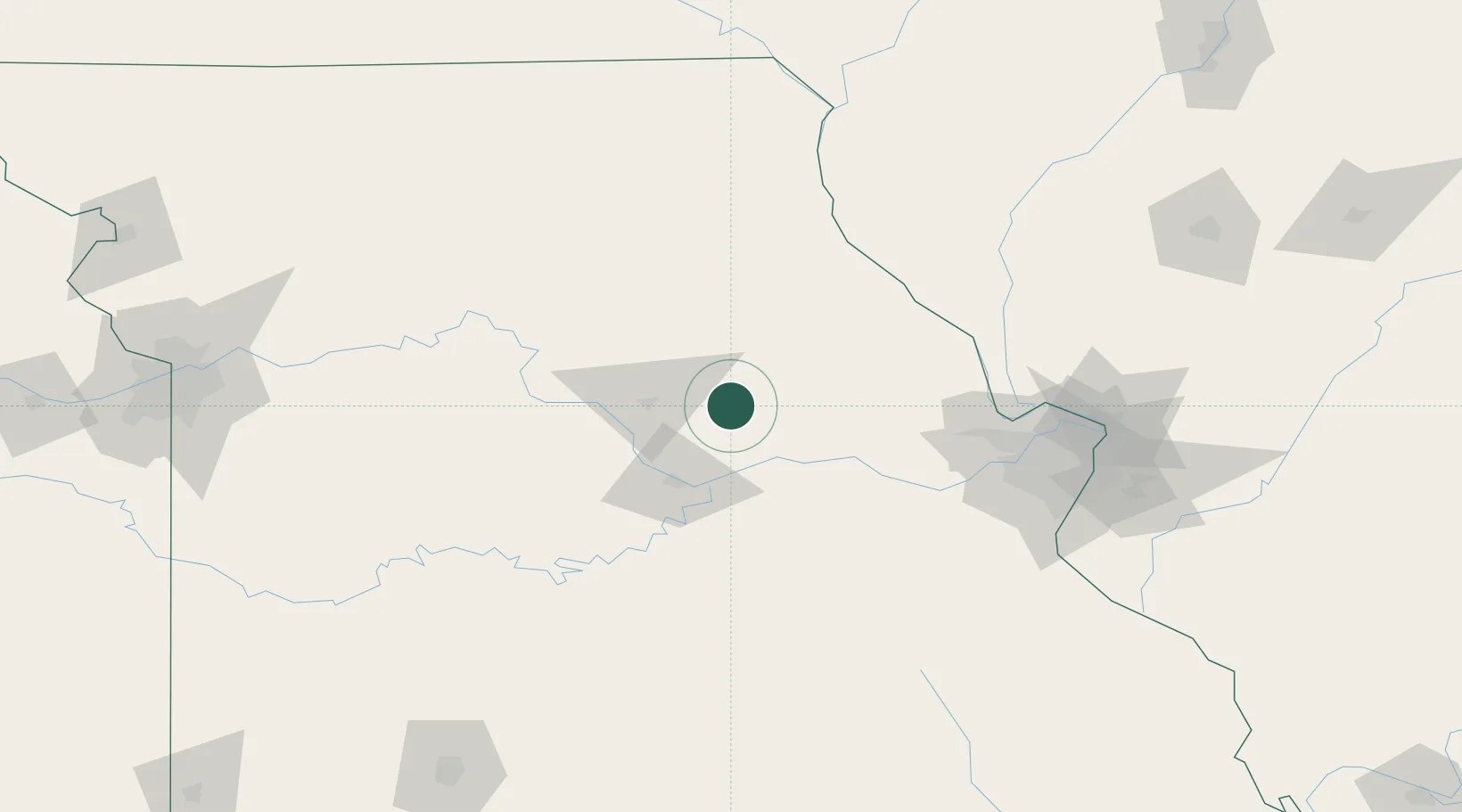
Kingdom City
38.9500°, -91.9333°
130
Population
2
Transport functions
Transport Functions
Rail
Road
Hub Profile
Place type
Populated place
Region
Missouri
Population
130
Time zone
America/Chicago
Elevation
259 m
Location
Nearby Logistics Neighbours
Cities
- 1New Bloomfield29 km
- 2Centralia34 km
- 3New Florence42 km
- 4Lexington48 km
- 5High Hill49 km
Ports
- 1Port Of Memphis459 km
- 2Calumet Harbor486 km
- 3Indiana Harbor487 km
- 4Gary490 km
- 5Chicago491 km
Airports
Trade Zones
- 1FTZ No. 102 St. Louis County112 km
- 2FTZ No. 031 Granite City152 km
- 3FTZ No. 055 Burlington219 km
- 4FTZ No. 225 Springfield222 km
- 5FTZ No. 017 Kansas City253 km
DatabookThe Record of Consolidated Knowledge
United States beyond logistics?