UN/LOCODE hub · United States
USILJ
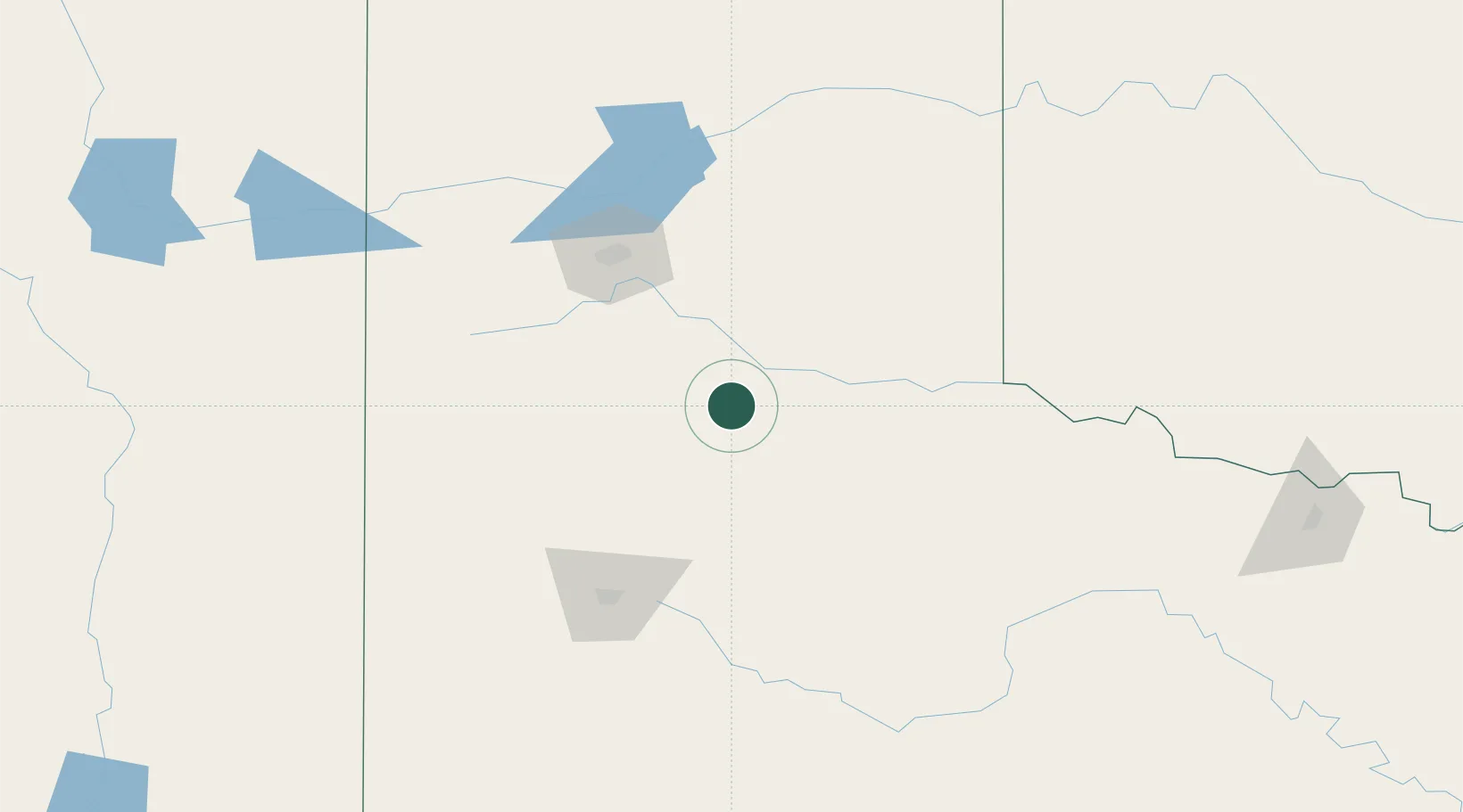
Silverton
34.4667°, -101.3000°
672
Population
2
Transport functions
Transport Functions
Rail
Road
Hub Profile
Place type
Provincial seat
Region
Texas
Population
672
Time zone
America/Chicago
Elevation
999 m
Location
Nearby Logistics Neighbours
Cities
- 1Turkey37 km
- 2Petersburg72 km
- 3Hart74 km
- 4Canyon79 km
- 5Olton83 km
Ports
- 1Deer Park768 km
- 2Houston772 km
- 3Pasadena779 km
- 4Port Lavaca787 km
- 5Baytown792 km
Airports
Trade Zones
- 1FTZ No. 252 Amarillo97 km
- 2FTZ No. 260 Lubbock118 km
- 3FTZ No. 261 Alexandria118 km
- 4FTZ No. 165 Midland284 km
- 5FTZ No. 166 Homestead284 km
DatabookThe Record of Consolidated Knowledge
United States beyond logistics?